

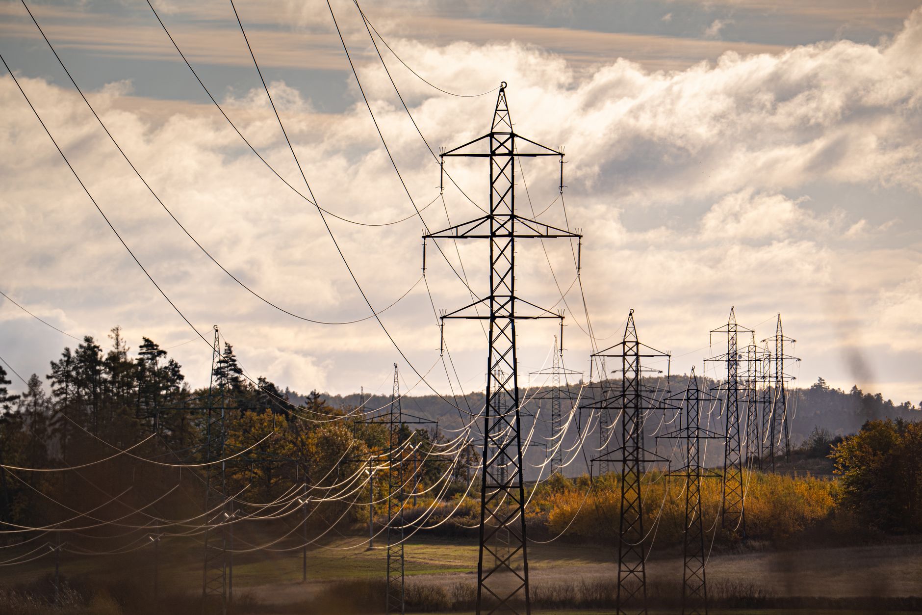
Since January 2021, FEMA has logged 351 federally declared disasters across the United States. Severe storms alone account for 140 of them. Floods add another 78. Hurricanes, winter storms, wildfires, and tornadoes fill out the rest of a list that has grown steadily year over year. The eight states hit hardest. Alaska, Tennessee, California, Kentucky, Montana, Missouri, Kansas, and Nebraska, span every climate zone and every type of terrain. What connects them is not geography. It is the same cascade of failures that follows almost every major event: power goes down, cell towers overload, internet drops, and households that had no backup plan suddenly have no plan at all. Our Power Outage Preparedness guide walks through that cascade in more detail and what to do about it.
Your county's real disaster history, what to do first, and what to keep at home. Free, and it shows up right here.
🔒 We never sell your email. Unsubscribe in one click.
As recently as June 30, 2026, FEMA recorded simultaneous declarations in Wisconsin, Michigan, Mississippi, Idaho, Guam, Louisiana, Missouri, and Nebraska, floods, tornadoes, a super typhoon, and wildfires all active on the same calendar day. When that many events stack, emergency services are stretched, networks are congested, and the window to reach your family or confirm your route can close faster than most people expect.
This post is about closing that gap before the next event lands in your county.
📊 Across the United States: Federally Declared Disasters (2021–2026)
351 major disaster declarations were issued in this period, according to FEMA records.
| Disaster type | Declarations |
|---|---|
| Severe Storm | 140 |
| Flood | 78 |
| Hurricane | 31 |
| Winter Storm | 22 |
| Fire | 20 |
| Tropical Storm | 17 |
| Severe Ice Storm | 9 |
| Tornado | 9 |
States with the most declarations
| State | Declarations |
|---|---|
| AK | 18 |
| TN | 16 |
| CA | 16 |
| KY | 14 |
| MT | 13 |
| MO | 12 |
| KS | 12 |
| NE | 11 |
Most recent declarations
| Date | Type | Event |
|---|---|---|
| 2026-06-30 | Flood | Severe Storms, Tornadoes, And Flooding (Wi) |
| 2026-06-30 | Flood | Severe Storms, Tornadoes, And Flooding (Mi) |
| 2026-06-30 | Severe Storm | Severe Storms, Straight-Line Winds, Tornadoes, And Flooding (Ms) |
| 2026-06-30 | Severe Storm | Severe Storms, Straight-Line Winds, Flooding, Landslides, And Mudslides (Id) |
| 2026-06-30 | Typhoon | Super Typhoon Sinlaku (Gu) |
| 2026-06-30 | Tropical Storm | Tropical Storm Arthur (La) |
Source: FEMA OpenFEMA Disaster Declarations · retrieved 2026-07-20 by US Risk Radar.
Why severe storms are the communication problem most households ignore
Of those 351 declarations, the 140 severe storm events are the category most likely to affect a household with no warning longer than a few hours. Hurricanes give days of lead time. Winter storms appear on forecasts 48 to 72 hours out. Severe storms, the kind that produce straight-line winds, flash flooding, and embedded tornadoes, can go from a watch to a warning in under 30 minutes.
That compressed timeline is exactly when people reach for their phones and find a congested network. When too many people in a region attempt to call simultaneously, voice traffic is the first thing carriers throttle. Text messages queue and eventually push through. Data services stall. The result is a household that has a charged phone, a signal bar, and no ability to confirm whether family members are safe.
NOAA’s Weather Radio network, which broadcasts on dedicated frequencies independent of the cellular grid, remains one of the most reliable early-warning tools available to any household in any state. A dedicated NOAA weather radio receiver costs less than $30, runs on batteries, and does not require an internet connection or a cell signal. For the 140 severe storm declarations in the FEMA record, a weather radio would have delivered the alert regardless of network congestion. Check current watches and warnings at weather.gov.
Flooding is the second disaster, and the one that cuts roads before it cuts power
With 78 flood declarations in the FEMA dataset, flooding is the second-most common federally declared event since 2021. Floods are different from storms in one critical way: they isolate. A severe storm disrupts communication. A flood can physically prevent movement, making communication the only tool available for coordinating rescue or shelter decisions.
When roads flood, evacuation routes change. The offline map you downloaded last week matters more than the live GPS app that requires data. Pre-downloaded county maps, available through apps like Maps.me or through your state’s emergency management GIS portal, can show alternate routes that a real-time app might not flag if its servers are unreachable.
FEMA’s guidance on flood preparedness at fema.gov specifically recommends identifying two evacuation routes before you need them. That recommendation assumes you have already mapped those routes and do not need to look them up under stress. Print a county road map. Mark your two routes with a pen. Keep it in the same binder as your emergency contacts.
Build your communication stack around the disasters most likely to reach you
The FEMA data shows that no single disaster type dominates everywhere. Alaska’s 18 declarations skew toward severe weather and flooding in remote areas where cell infrastructure is sparse to begin with. California’s 16 declarations include wildfires that force fast evacuations with little time to coordinate. Tennessee and Kentucky, each with 14 to 16 declarations, see heavy flooding and severe storms in areas where topography can isolate communities for days.
The communication stack you build should reflect that local reality. A household in a wildfire-prone county needs a plan that works during fast evacuation, short-range radios for family coordination, pre-agreed meeting points, and an out-of-state contact who can relay messages. A household in a flood-prone river basin needs a plan that works during shelter-in-place, battery-powered weather radio, offline maps, and a charging strategy that does not depend on the grid.
For most households, the stack looks like this, in order of priority:
- NOAA weather radio, battery-powered, independent of cell and internet, receives alerts 24 hours a day.
- Cell phone with emergency alerts enabled, useful when networks are functional; text before voice when congestion hits.
- FRS/GMRS two-way radios, no infrastructure required, practical range of one to several miles depending on terrain, effective for family coordination within a neighborhood or evacuation convoy.
- Printed contacts and maps, zero power required, zero network required, works when every screen is dark.
- Ham radio, requires licensing but provides the deepest backup layer, capable of reaching local emergency nets when all consumer infrastructure is down.
The goal is not to own all five simultaneously on day one. It is to have at least three layers operational before storm season, wildfire season, or winter storm season arrives for your region.
📦 Recommended: Blackout Protocol
If your concern is a prolonged outage that knocks out both power and digital communications, this guide helps you think through a complete home plan. It is a fit for families who want structure before the first outage hits.
Power is not a separate problem, it is the same problem
Every tool in that stack has one shared dependency: energy. Two-way radios need charged batteries. A weather radio needs fresh alkaline cells or a charged internal battery. A cell phone on power-saving mode lasts 18 to 36 hours without a charge; with heavy use during an emergency, that drops to eight or ten.
The 72-hour readiness window that FEMA and most emergency management agencies use as a planning baseline assumes approximately three days of independent function. That means your charging plan needs to cover 72 hours without grid access. A 20,000 mAh power bank can fully charge most smartphones three to four times. Two of those banks, kept at full charge and rotated every 90 days, cover most 72-hour scenarios. Add a set of fresh AA or AAA batteries for the weather radio and FRS radios, and store them in a dry, temperature-stable location.
If you live in a region with reliable sun exposure, a small 20-watt solar panel can extend that window indefinitely during daylight hours, useful for the wildfire evacuations and multi-day flood events that appear repeatedly in the FEMA record. Do not treat it as your primary source; treat it as what extends your primary sources.
📦 Recommended: The Grid Phantom
When communications depend on batteries, radios, and charging gear, protecting your critical electronics becomes part of readiness. This resource is useful if you want a practical way to think about gear protection during grid disruption.
The information that needs to be offline before the event, not during it
When the internet drops, live searches stop working. Every piece of information you might need under stress should exist in a form that does not require a connection. That list is shorter than most people think:
- Printed county and highway maps with two evacuation routes marked
- Local emergency shelter addresses (available through your county emergency management office)
- Phone numbers for out-of-area contacts, written down, not only saved in a device
- Medication names, dosages, and prescribing physician contacts
- Utility shutoff instructions for gas, water, and electrical panels
- Insurance policy numbers and agent contact
A single laminated card or a small binder stored with your go-bag covers all of this. The card does not need to be updated often, check it when you rotate your power bank charge, roughly every 90 days.
One drill, once a quarter, is enough
Practice does not need to be elaborate. Once every three months, run through four steps as a household: send a text to your out-of-area contact and confirm receipt; turn on the two-way radios and make contact across the house or with a neighbor; open the offline map on your phone and trace your primary evacuation route; locate and open the emergency binder. The entire exercise takes about 15 minutes. What it surfaces, dead batteries, a family member who has never used the radio, a binder that has moved, is worth far more than the time it takes.
The 351 disasters in the FEMA record since 2021 are not distributed randomly across the calendar. They cluster around severe weather seasons, which vary by region. Scheduling your quarterly drill at the start of your region’s primary risk season, tornado season in spring, hurricane season in June, wildfire season in late summer, winter storm season in November, puts the practice closest to when it matters.
What to do before this week ends
- Enable Wireless Emergency Alerts on every phone in the household (Settings → Notifications → Emergency Alerts).
- Purchase or locate a NOAA weather radio and confirm it receives your local transmitter.
- Charge your power banks to full and note the date on a piece of tape.
- Write down ten phone numbers, family, out-of-area contact, local emergency management, on paper.
- Download offline maps for your county and at least one adjacent county.
- Pick a family meeting point within walking distance and one further away, and tell everyone what they are.
Frequently asked questions
With 140 severe storm declarations since 2021, how much warning time should I actually plan around?
Severe thunderstorm warnings from NOAA typically provide 20 to 40 minutes of lead time, and tornado warnings average about 13 minutes nationally. That is enough time to move to shelter, not enough time to gather supplies or coordinate across a household that has no pre-established plan. The communication plan needs to exist and be understood by everyone before the warning is issued, not during it.
Cell service failed during the last storm in my area. Will texting actually work when voice calls don’t?
Text messages use significantly less bandwidth than voice calls and are transmitted in short bursts, which means they can queue and deliver even on a congested network where voice calls fail immediately. SMS (standard text, not app-based messaging) is more reliable than data-dependent messaging apps like iMessage or WhatsApp during network stress, because SMS does not require a data connection, only a signal capable of carrying a basic carrier channel. Keep iMessage and similar apps as a secondary option, not a primary one.
The FEMA data shows floods are the second-most common disaster type. How does that change a communication plan compared to planning for storms?
Flooding changes the spatial dimension of the problem. A severe storm disrupts communication briefly and locally. A flood can isolate a household for 12 to 72 hours or longer, making it impossible to travel to a neighbor, a shelter, or a family member. For flood-prone households, the communication plan needs to include a way to signal status without moving, a flag, a pre-agreed window light signal for neighbors, or a text-based check-in schedule with an out-of-area contact who can relay information to local family if one part of the network is down. The two-way radio is less useful if the neighbor you planned to reach is also isolated. The out-of-area contact who can receive texts and relay status becomes the more reliable link.
Get real disaster prep, decoded from FEMA, NOAA & USGS.
One short email when something actually matters for your zip code. No spam, ever.