
About US Risk Radar
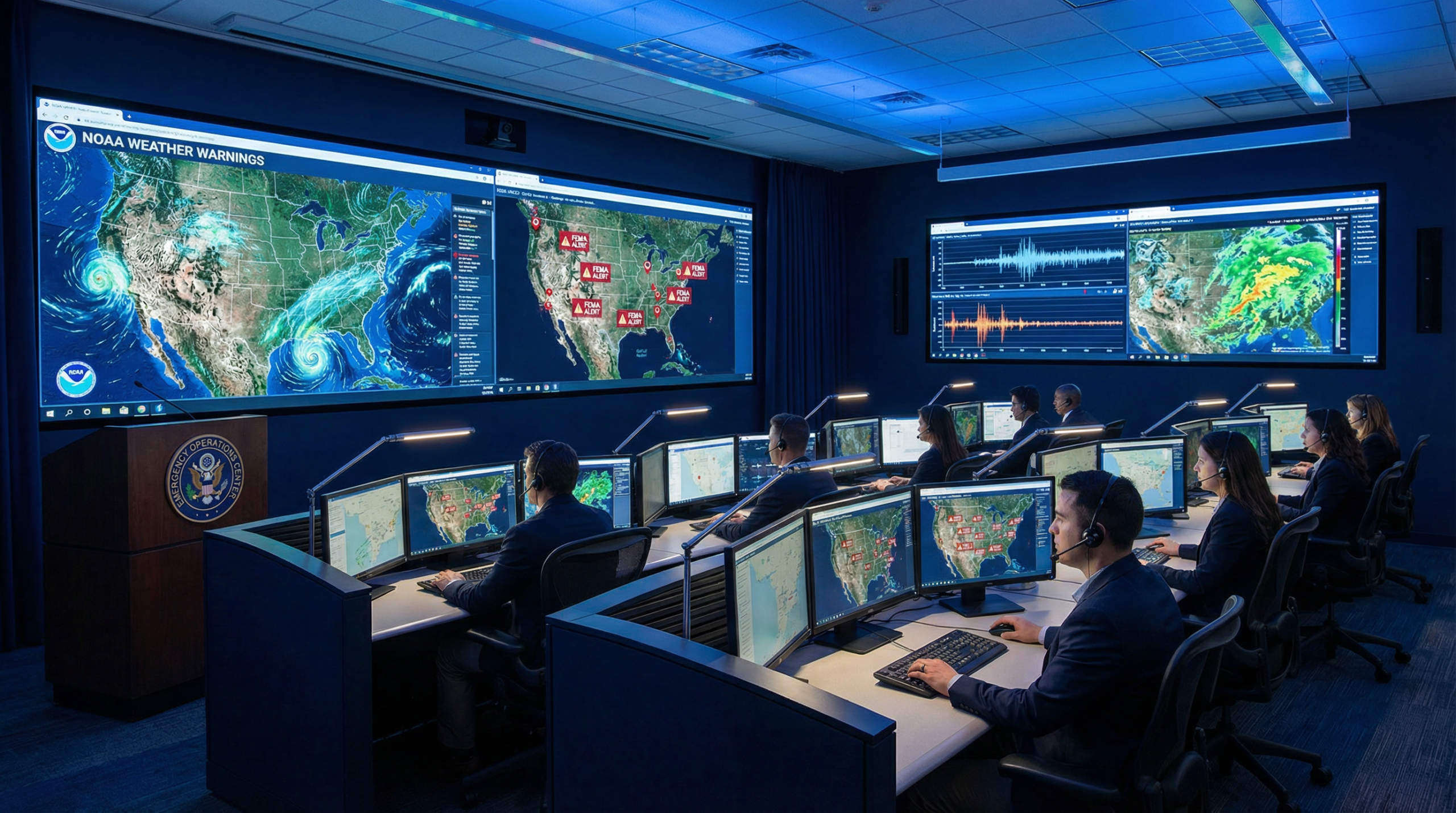
US Risk Radar is a dedicated disaster preparedness and natural hazard monitoring platform built to keep Americans informed, safe, and ready. We aggregate real-time data from the nation’s most trusted federal agencies to deliver timely, accurate, and actionable information about natural disasters across the United States.
Our mission is simple: no American should be caught off guard by a natural disaster. Whether you live in a hurricane-prone coastal area, an earthquake-active region, or a flood-risk zone, US Risk Radar provides the critical information you need — when you need it most.
Our Mission
We believe that preparedness saves lives. Every year, natural disasters affect millions of Americans, causing billions of dollars in damage and, more importantly, devastating loss of life. US Risk Radar was created to bridge the gap between government data and everyday citizens, translating complex scientific and meteorological information into clear, accessible, and practical guidance.
Through automated monitoring and AI-assisted reporting, we publish daily updates on active and emerging natural hazards — from earthquakes and hurricanes to wildfires, floods, tornadoes, and severe winter storms. Our content is designed to help you understand the risks in your area and take proactive steps to protect yourself and your family.
Our Data Sources
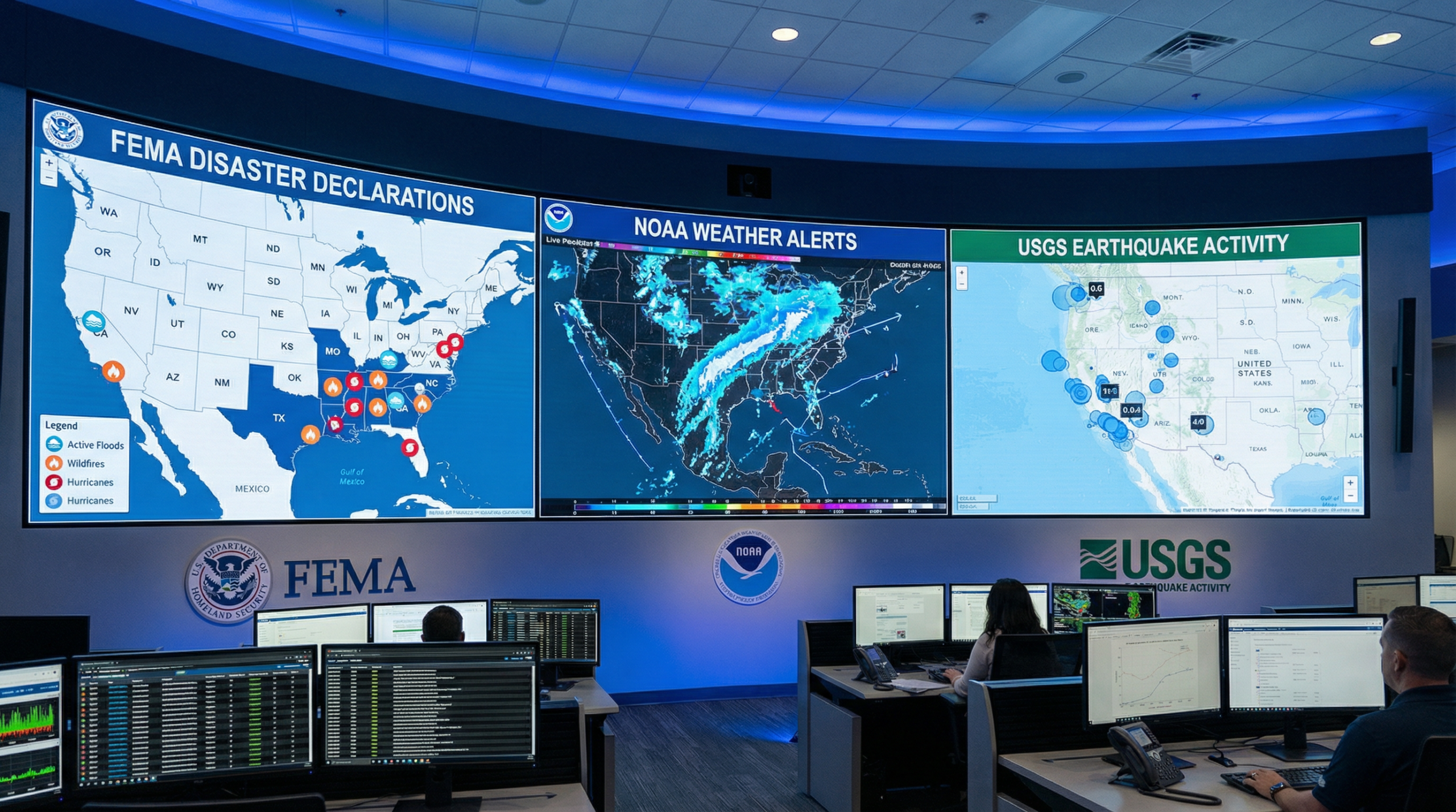
US Risk Radar is powered by data from three of the most authoritative federal agencies in the United States:
- FEMA (Federal Emergency Management Agency) — We monitor official disaster declarations, emergency alerts, and federal response activities in real time. FEMA data helps us track which areas have been formally declared disaster zones and what federal resources are being deployed.
- NOAA / National Weather Service — We integrate weather warnings, watches, advisories, and forecasts from the National Oceanic and Atmospheric Administration. This includes hurricane tracks, tornado warnings, flood advisories, winter storm alerts, and severe thunderstorm watches.
- USGS (U.S. Geological Survey) — We track seismic activity and earthquake data from the United States Geological Survey, providing up-to-date information on earthquake magnitudes, locations, and potential aftershock risks across the country.
By combining these three authoritative data streams, US Risk Radar provides a comprehensive, multi-hazard view of natural disaster risk across the continental United States, Alaska, Hawaii, and U.S. territories.
What You’ll Find Here
Our platform covers a wide range of natural hazards that affect the United States, including:
- 🌍 Earthquakes
- 🌀 Hurricanes & Tropical Storms
- 🔥 Wildfires
- 🌊 Floods & Flash Floods
- 🌪️ Tornadoes
- ❄️ Winter Storms & Blizzards
- ⚡ Severe Thunderstorms
- 💧 Droughts
- 🌊 Tsunamis
- ⚡ Power Outages
Each category includes in-depth articles, preparedness guides, safety tips, and real-time alerts to help you stay informed and ready for any scenario.
Preparedness Is Everyone’s Responsibility
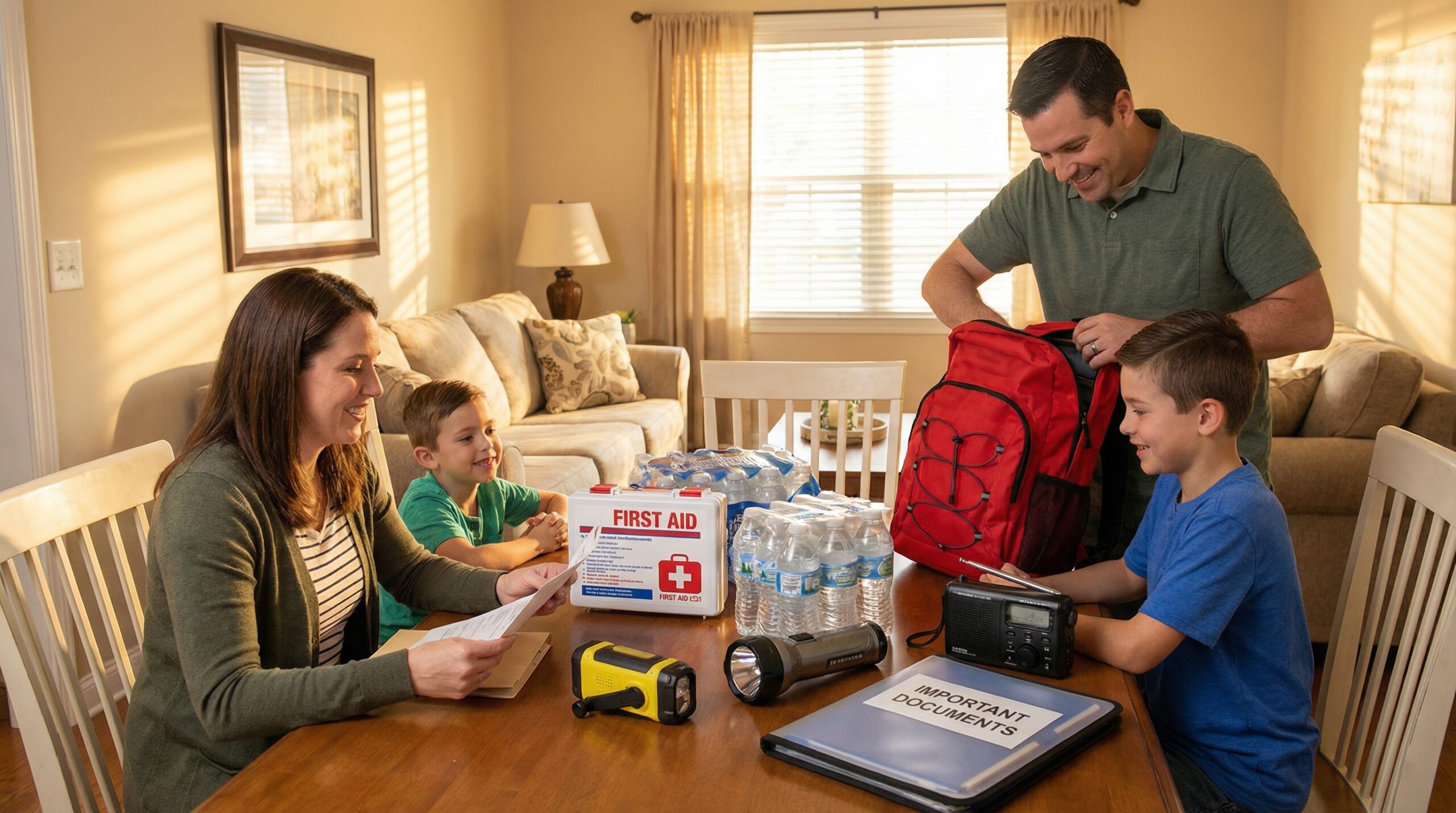
Beyond monitoring and reporting, US Risk Radar is committed to disaster preparedness education. We believe that every household should have an emergency plan, a go-bag ready, and the knowledge to act quickly when disaster strikes. Our preparedness guides cover everything from building a 72-hour emergency kit to creating a family communication plan and understanding evacuation routes.
Natural disasters don’t give advance notice — but with the right information and preparation, you can significantly reduce your risk and improve your resilience. That’s what US Risk Radar is here for.
Our Commitment to Accuracy
All content published on US Risk Radar is based on verified data from official government sources. We do not publish unverified rumors or speculative information. Our automated reporting system is designed to deliver factual, timely, and relevant disaster information with the highest standards of accuracy and transparency.
If you have questions, corrections, or suggestions, we welcome your feedback. Our goal is to be the most trusted source for natural disaster information in the United States.
Follow US Risk Radar
Stay updated with our latest disaster preparedness guides and real-time alerts:
- Telegram Channel — Daily alerts and preparedness tips
- Facebook Page — Community updates and guides
- LinkedIn — Professional emergency management insights
- Dev.to — Technical preparedness articles
Our Editorial Team
US Risk Radar’s content is produced and reviewed by a dedicated editorial team that holds itself to the same evidentiary standard we expect from public-health communicators and emergency-management professionals.
Gustavo Rodrigues — Founder & Editor
Gustavo Rodrigues is the founder and editor of US Risk Radar. A Brazilian data and marketing systems analyst with seven years of experience building data infrastructure for U.S.-facing businesses, Gustavo started US Risk Radar in 2026 after watching close family members in São Paulo lose almost everything to a flash flood — and realizing the same pattern of last-minute scramble plays out across the United States every hurricane season, wildfire summer, and winter storm. He is not a former FEMA officer or a first responder. He is an outsider who treats American preparedness data as a planning input, not background news. Every article on this site is built on FEMA, NOAA / National Weather Service, and USGS primary sources, linked in-line.
Gustavo leads editorial workflow, source verification, and corrections. He is responsible for reviewing AI-assisted drafts against primary sources before publication, maintaining the site’s corrections log, and updating articles when underlying guidance changes. Connect with Gustavo on LinkedIn or reach the editorial team at info@usriskradar.com.
You can reach the editor at info@usriskradar.com.
How we work
Every article on US Risk Radar passes through a structured editorial process:
- Primary source first. We start from FEMA disaster declarations, NWS active alerts, USGS earthquake feeds, CDC preparedness guidance, Red Cross checklists, or manufacturer datasheets — never from secondary blogs.
- AI-assisted drafting. Large language models help us organize source material into structured drafts (introduction, sections, FAQ, checklist). AI is a tool — not the author of record.
- Human review. The editor reviews every draft against the original sources before publication, with attention to factual accuracy, currency of underlying data, life-safety claims, and clarity for non-expert readers.
- Fact-check. Specific claims that affect safety decisions are checked against the primary source linked in the article.
- Publish + monitor. After publication, we monitor for updates to underlying guidance (CDC update, manufacturer recall, FEMA policy change). When guidance changes, we update the article and the publication date.
The full editorial process — including how we use AI, the sources we rely on, our corrections policy, and what we do not do — is documented on our Editorial Policy page.
Affiliate transparency
Some pages on US Risk Radar contain affiliate links. We follow FTC 16 CFR § 255 guidance with clear disclosure on every monetized page. See our Affiliate Disclosure page for our affiliate partners, how recommendations are chosen, and our complete disclosure policy.
Affiliate participation does not influence what we recommend. Editorial selection comes first; monetization is fitted to editorial.
How to reach us
- Editorial corrections or source suggestions: info@usriskradar.com
- General contact: Contact page
Stay informed. Stay prepared. Stay safe.
— The US Risk Radar Team