Last Updated: April 2026 | Based on FEMA/NOAA/USGS data
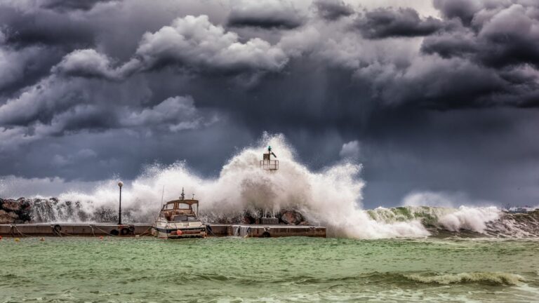
North Carolina has received 23 federally declared disaster declarations since January 2016, more than one and a half per year, on average. Eight of those were hurricanes. Four were tropical storms. One was a tropical depression. That’s 13 tropical systems in a decade battering a state where Raleigh sits 150 miles from the coast and residents sometimes assume the ocean is someone else’s problem. Our Hurricane Preparedness guide covers what those 13 tropical systems mean for an inland household.
Your county's real disaster history, what to do first, and what to keep at home. Free, and it shows up right here.
🔒 We never sell your email. Unsubscribe in one click.
It isn’t. Hurricane Floyd (1999) dumped more than 20 inches of rain on the Piedmont. Florence (2018) killed more people inland than at the shore. The most recent entry on NC’s federal disaster list before hurricane season is a severe winter storm in January 2026, a reminder that the state’s hazard calendar runs twelve months, not just June through November. If you own property or rent a home in Wake County, the FEMA record is the most honest briefing you’ll get on what to actually prepare for.
📊 NC Federally Declared Disasters (2016–2026)
23 major disaster declarations were issued for NC in this period, according to FEMA records.
| Disaster type | Declarations |
|---|---|
| Hurricane | 8 |
| Fire | 5 |
| Tropical Storm | 4 |
| Severe Storm | 2 |
| Biological | 2 |
| Winter Storm | 1 |
| Tropical Depression | 1 |
Most recent declarations
| Date | Type | Event |
|---|---|---|
| 2026-01-24 | Winter Storm | Severe Winter Storm |
| 2025-09-11 | Tropical Depression | Tropical Depression Chantal |
| 2025-05-03 | Fire | Sunset Drive Fire |
| 2025-04-20 | Fire | Sam Davis Road Fire |
| 2025-03-27 | Fire | Table Rock Fire |
| 2025-03-26 | Fire | Alarka Fire |
Source: FEMA OpenFEMA Disaster Declarations · retrieved 2026-07-19 by US Risk Radar.
Hurricanes Are the Headline, But Fires Are the Sleeper Threat
Five of NC’s 23 declarations since 2016 were wildfires, and four of those hit in a single spring stretch between late March and early May 2025. The Black Cove Fire Complex, the Alarka Fire, the Table Rock Fire, and the Sam Davis Road Fire all ignited within weeks of each other in the western part of the state. The Sunset Drive Fire followed in early May. That cluster happened during the same pre-hurricane-season window when most Raleigh households are focused on gutters and generators, not smoke.
Raleigh itself sits in the Piedmont, not the mountains, so direct wildfire risk is lower than in western NC. But smoke from large fires routinely reaches the Triangle, air quality alerts are issued for Wake County during active burn periods, and the dry spring conditions that feed mountain fires also stress urban trees, the same trees that come down on power lines when a tropical system arrives two months later. Spring prep is not a single-hazard task.
What the Tropical Storm and Depression Record Actually Means for Wake County
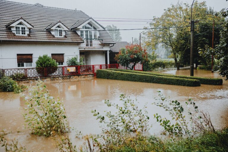
Four of NC’s declarations were tropical storms, and the most recent was Tropical Depression Chantal in September 2025. A tropical depression sounds anticlimactic. It isn’t, once it stalls over the Piedmont. The threat from weakened or post-landfall systems is almost entirely about rainfall rate, how fast water falls versus how fast the ground and drainage infrastructure can absorb it. Wake County’s creek and stream network, including Crabtree Creek and the Neuse River basin, can go from normal to flood stage in under six hours during a slow-moving tropical system.
NOAA’s Weather Prediction Center, not just the local NWS Raleigh office, issues Excessive Rainfall Outlooks three days out. Checking that product, not just the local forecast, during any named system is how you get an extra 48 to 72 hours of lead time before a storm that the evening news hasn’t started covering yet.
The Three Gaps Most Raleigh Households Have Right Now
Gap 1: Flood Insurance
Standard homeowners policies exclude flood damage, the single most common loss type in NC tropical events. The National Flood Insurance Program (NFIP) through FEMA covers it, but there is a mandatory 30-day waiting period before a new policy takes effect. If you purchase coverage on June 2nd, you are not covered for a June 15th storm. The time to call your insurer is now, not when the cone appears on the forecast map. Check your flood zone at FEMA’s Flood Map Service Center, many Raleigh properties near Crabtree Creek, Walnut Creek, and the Neuse are in or near Special Flood Hazard Areas even if the owners don’t know it.
Gap 2: The 72-Hour Self-Sufficiency Window
After a major tropical event, Wake County’s repair queue can stretch beyond a week for some neighborhoods. The 72-hour kit is a minimum floor, not a target. A realistic Raleigh kit accounts for the specific failure modes this region sees:
- One gallon of water per person per day for at least five days (not three, post-Florence, some areas lost municipal water for longer)
- Seven-day supply of non-perishable food, prioritizing items that require no cooking if propane runs out
- Battery-powered or hand-crank NOAA Weather Radio, cellular networks saturate within hours of a major storm landfall
- Portable power bank (20,000 mAh minimum) for phones; larger solar-capable units for CPAP or medical devices
- Flashlight with lithium batteries (they hold charge through multi-year storage)
- First aid kit inclusive of any prescription medications in 30-day supply
- Cash in small bills. ATMs and card readers go down with the power grid
- Physical copies of insurance documents, IDs, and prescription information in a waterproof bag
- Manual can opener
- N95 masks, useful for both post-storm debris and wildfire smoke events earlier in the season
- Wrench or pliers to shut off gas and water utilities
- Local paper maps of Wake County in case GPS-dependent navigation fails
📦 Recommended: Home Doctor
When emergency services are overwhelmed or inaccessible during severe weather, having a reliable medical reference guide is vital for treating minor injuries at home.
Gap 3: Alert Enrollment and the Out-of-State Contact
Wake County’s ReadyWake! system sends evacuation orders, shelter locations, and road closure alerts directly to registered phones and email addresses. Wireless Emergency Alerts reach every phone in a cell tower’s range automatically, but ReadyWake gives you address-specific information that WEA cannot. Register now, it takes four minutes.
Separately, designate one out-of-state contact that every household member can text or call. Local circuits jam during major events. A contact in, say, Ohio can relay messages between family members who can’t reach each other across Raleigh. Make sure everyone in your household knows that person’s number by memory, not just from a contact list that requires a charged phone to access.
Property Actions Before June 1
The pre-season window is when contractors are still available and materials are in stock. After the first named storm of the season, both get scarce fast.
- Tree assessment: Any tree with a trunk within falling distance of your roofline or power service entrance is a liability. An arborist can identify decay, weak attachment points, and overcrowded canopy before sustained tropical winds do it for you.
- Gutters and downspouts: Blocked gutters during a tropical rain event push water behind fascia boards and into wall cavities. Clean them in May and confirm downspouts discharge at least four feet from the foundation.
- Sump pump test: Pour a bucket of water into the pit to confirm the float switch triggers. If your pump is more than seven years old and has no battery backup, replace it before season.
- Photograph your home’s interior and exterior: Walk every room with your phone camera. Upload the video to cloud storage the same day. Insurance adjusters work from documentation; this footage is what closes claims faster after a storm.
- Roof inspection: Missing or lifted shingles are the entry point for interior water damage during high-wind events. A roofing company can assess this in under an hour.
Local Resources Worth Bookmarking Now
- Wake County Emergency Management, official shelter and evacuation information
- National Weather Service. Raleigh Office, local watches, warnings, and Excessive Rainfall Outlooks
- ReadyNC, statewide preparedness resources including evacuation route maps
- FEMA.gov, flood maps, NFIP enrollment, and disaster assistance registration
Three Questions Raleigh Residents Ask After Looking at the Data
NC had four wildfire declarations in spring 2025, should Raleigh residents be worried about fire?
Direct wildfire risk inside Raleigh city limits is low, but the 2025 fire cluster produced air quality alerts across the Triangle for days. If anyone in your household has asthma or cardiovascular conditions, a supply of N95 masks and a plan to stay indoors with windows sealed during smoke events is practical, not alarmist. The broader lesson is that NC’s disaster profile is multi-hazard, and spring prep should account for smoke season alongside hurricane season.
Tropical Depression Chantal made the federal declaration list in September 2025, does a depression really cause that much damage?
Yes, particularly in a river basin like the Neuse. Tropical depressions move slowly and drop concentrated rainfall over a fixed area for hours. The federal declaration threshold is met when damage and recovery costs exceed what state and local governments can cover alone, a bar that a stalled depression can clear easily when drainage systems are already saturated from earlier summer rain. Treat any named or numbered tropical system as a flash flood risk for Wake County regardless of its wind category.
The FEMA record shows 23 declarations since 2016, is NC getting more dangerous, or is this normal?
The frequency reflects a combination of more active Atlantic hurricane seasons, expanded federal disaster declaration criteria, and development in flood-prone areas increasing the dollar value of losses that trigger declarations. FEMA’s disaster declaration data and NOAA’s historical storm tracks both show the Piedmont is not a buffer zone, it’s a documented impact area. Planning accordingly is the calibrated response.
Get real disaster prep, decoded from FEMA, NOAA & USGS.
One short email when something actually matters for your zip code. No spam, ever.