Understanding Your Risk: Wildfire Preparedness Guide Phoenix AZ
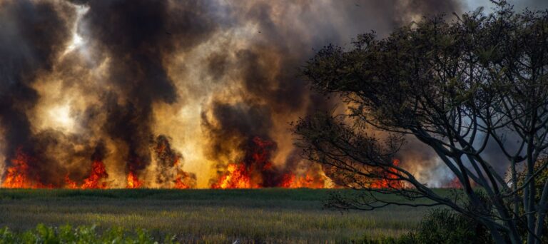
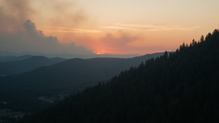
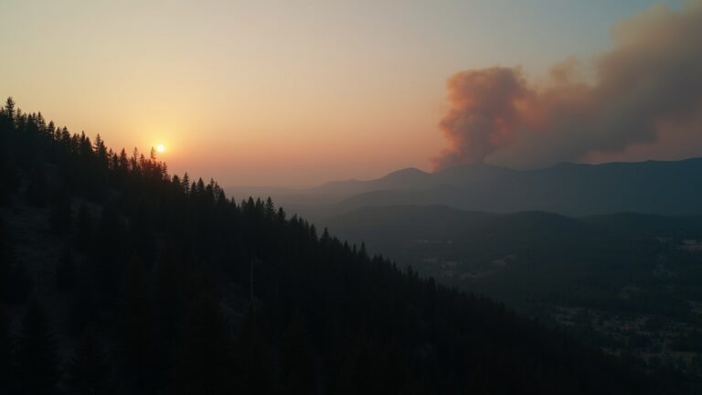
Wildfire risk in the Phoenix metropolitan area is a critical concern as spring temperatures rise and desert vegetation dries out. While Phoenix is an urban environment, the proximity to the Phoenix Mountains Preserve and wildland-urban interfaces necessitates proactive planning. Currently, there are no active wildfire warnings for the region, but residents must prepare now before the peak fire season intensifies. Our Wildfire Preparedness guide covers that planning in more depth.
Your county's real disaster history, what to do first, and what to keep at home. Free, and it shows up right here.
🔒 We never sell your email. Unsubscribe in one click.
Current Risk Status: Phoenix, Arizona
As of April 2026, there are no active wildfire alerts or FEMA disaster declarations for Phoenix, Arizona. According to weather.gov, the current conditions remain stable, and there is no seismic activity reported by the USGS that would impact local fire safety infrastructure. However, residents should monitor the FEMA portal regularly for updates, as desert conditions can change rapidly during the spring transition.
The Phoenix Wildfire Threat
The desert landscape may seem sparse, but the accumulation of invasive grasses after wet winters creates a significant fuel load. In the Phoenix area, wildfires often start near hiking trails or along the urban fringe. Understanding how fire behaves in the Sonoran Desert is the first step toward effective mitigation and personal safety.
Why Spring Preparation Matters
Spring is the ideal time to clear defensible space around your property. As the temperatures climb, the moisture content in vegetation drops, increasing the likelihood of ignition. By taking action in the spring, you ensure your home is resilient before the summer heat waves arrive.
Localized Wildfire Preparedness Checklist for Phoenix
- Clear all dry brush, dead leaves, and debris within 30 feet of your home.
- Remove flammable materials like firewood or patio furniture from under wooden decks.
- Clean rain gutters of pine needles and dried leaves to prevent ember ignition.
- Check your irrigation system to ensure your desert landscaping remains hydrated.
- Ensure your home address is clearly visible from the street for emergency responders.
- Create a “Go-Bag” containing three days of water, non-perishable food, and medications.
- Register your phone number with the Maricopa County Emergency Notification System.
- Discuss an evacuation route with your family, including two ways out of your neighborhood.
- Keep a portable AM/FM weather radio with fresh batteries in your emergency kit.
- Identify a nearby emergency shelter location in collaboration with the local Red Cross.
- Review your homeowners’ insurance policy to confirm wildfire coverage limits.
- Practice a “10-minute drill” to see if your family can pack essential documents and evacuate quickly.
Resources for Phoenix Residents
Staying informed is your best defense against natural hazards. Utilize these official resources to stay updated on local conditions:
- City of Phoenix Office of Emergency Management
- Arizona Department of Emergency and Military Affairs
- Arizona Interagency Wildfire Prevention
For more information on other hazards, check our guides on Heat Preparedness and Flash Flood Preparedness.
Frequently Asked Questions
How can I protect my Phoenix home from wildfires?
Protecting your home involves creating a defensible space by removing flammable vegetation within 30 feet of your structure. Additionally, harden your home by cleaning gutters and ensuring that vents are covered with fine mesh screening to prevent embers from entering the attic during high-wind events.
What should I include in my emergency evacuation kit?
Your kit should include essential documents, prescription medications, a first aid kit, flashlights, extra batteries, a hand-crank radio, non-perishable food, and at least one gallon of water per person per day. Ensure all family members know exactly where this kit is located at all times.
How do I receive emergency alerts in Phoenix?
You can receive emergency alerts by signing up for the Maricopa County emergency notification system. This system provides real-time updates regarding wildfire threats, evacuation orders, and other critical information directly to your mobile device or email address during a disaster event.
What is the wildland-urban interface?
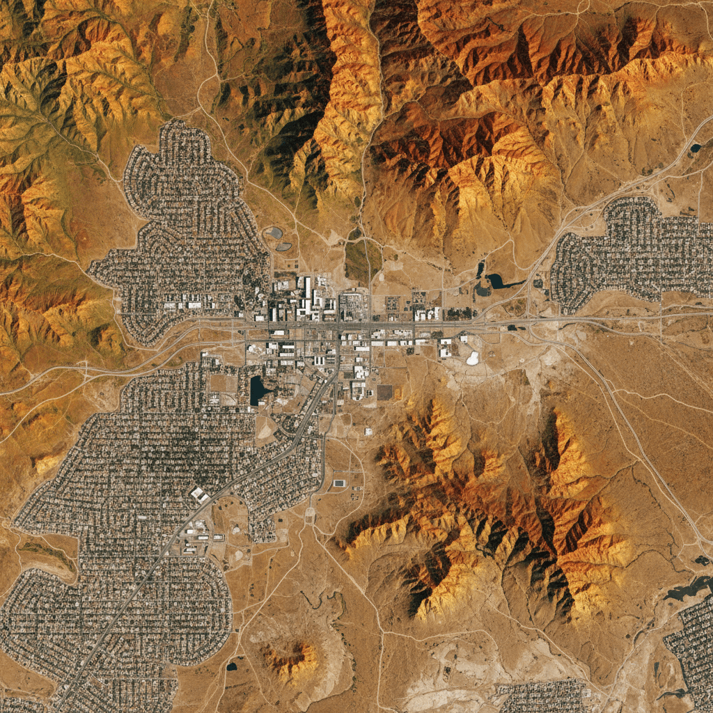
The wildland-urban interface is the zone where human development, such as residential housing, meets undeveloped land with significant vegetation. In Phoenix, this often occurs near the mountain preserves. These areas are at higher risk because they combine the proximity of fuel sources with residential structures.
What should I do if I see smoke near my neighborhood?
If you see smoke, do not wait for an official order to be cautious. Immediately call 911 to report the fire, then monitor your local news and official government social media channels for evacuation instructions. Be prepared to leave immediately if local authorities issue an evacuation warning.
Disclaimer
This guide is for informational purposes only and does not constitute professional safety or legal advice. Disaster preparedness involves inherent risks. Always follow the instructions of local authorities during an emergency. Visit Ready.gov for comprehensive federal preparedness guidelines.
Get real disaster prep, decoded from FEMA, NOAA & USGS.
One short email when something actually matters for your zip code. No spam, ever.