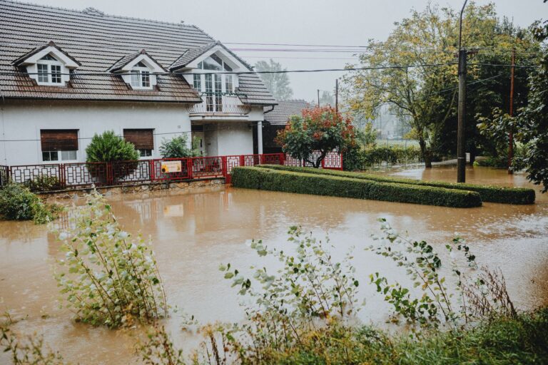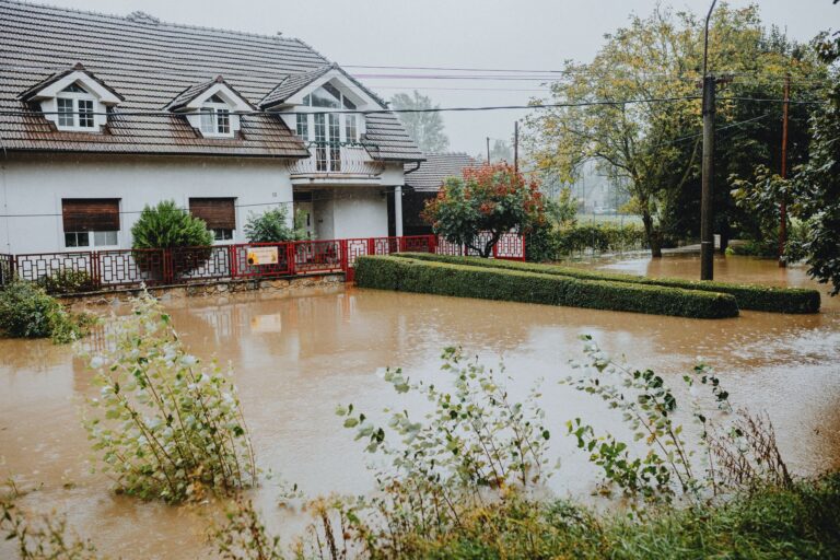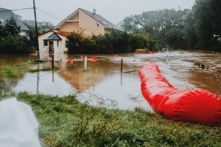
North Carolina has logged 23 federally declared disasters since 2016, 8 hurricanes, 5 wildfires, 4 tropical storms, 2 severe storms, 2 biological events, 1 winter storm, and 1 tropical depression. That is not a state with an occasional bad season. That is a state with a structural exposure problem that runs from the Outer Banks to the Blue Ridge. The most recent FEMA action makes that concrete: $59 million committed to buy out more than 150 flood-damaged properties in Buncombe, Haywood, and Mitchell counties, mountain communities that most people would not have placed at the top of a flood-risk list before Hurricane Helene. For the household preparedness side of that risk, not just the buyout program, see our Flood Preparedness guide.
Your county's real disaster history, what to do first, and what to keep at home. Free, and it shows up right here.
🔒 We never sell your email. Unsubscribe in one click.
That disconnect between perceived risk and documented loss is exactly why this buyout matters beyond the homeowners directly involved. North Carolina does not fit a single disaster profile, and a preparedness plan built around only one threat type will fail the other six.
📊 NC Federally Declared Disasters (2016–2026)
23 major disaster declarations were issued for NC in this period, according to FEMA records.
| Disaster type | Declarations |
|---|---|
| Hurricane | 8 |
| Fire | 5 |
| Tropical Storm | 4 |
| Severe Storm | 2 |
| Biological | 2 |
| Winter Storm | 1 |
| Tropical Depression | 1 |
Most recent declarations
| Date | Type | Event |
|---|---|---|
| 2026-01-24 | Winter Storm | Severe Winter Storm |
| 2025-09-11 | Tropical Depression | Tropical Depression Chantal |
| 2025-05-03 | Fire | Sunset Drive Fire |
| 2025-04-20 | Fire | Sam Davis Road Fire |
| 2025-03-27 | Fire | Table Rock Fire |
| 2025-03-26 | Fire | Alarka Fire |
Source: FEMA OpenFEMA Disaster Declarations · retrieved 2026-07-19 by US Risk Radar.
Why the mountains flooded and what FEMA is doing about it
The $59 million breaks down into three county-level commitments: $51.7 million for 142 properties in Buncombe County, $2.4 million for 11 properties in Haywood County, and $2.4 million for nine properties in Mitchell County. Each acquired home will be demolished and the land converted to deed-restricted open space, permanently removed from the rebuilding cycle so floodwater has somewhere to go that is not someone’s living room.
This is FEMA’s Hazard Mitigation Grant Program working as intended. A buyout is not a repair check. It is the government’s calculation that preventing the next loss at a given address costs less than paying for it repeatedly. When FEMA reaches that conclusion about 162 specific properties, it is a signal worth reading carefully if you own anything nearby, or if you own anything in a western NC river valley at all.
What made Helene so destructive in the mountains was the same thing that makes flood maps unreliable there: terrain. Narrow valleys concentrate runoff fast. Creeks that are unremarkable in a dry September can move houses off foundations within hours when a hurricane stalls over the Appalachians. FEMA flood maps, which are built around statistical return periods rather than worst-case topographic scenarios, did not flag many of these properties as high-risk before the storm. That is worth remembering when you check your own flood zone status on msc.fema.gov: the map shows modeled probability, not physical ceiling.
Hurricanes are the dominant force, but wildfires are catching up fast
Eight of NC’s 23 federal disasters since 2016 were hurricanes. That number includes Matthew (2016), Florence (2018), Dorian (2019), Isaias (2020), and Helene (2024), among others. The coast and the piedmont have built institutional memory around hurricane prep, evacuation routes, surge zones, boarding protocols. That muscle memory exists for a reason.
What is newer, and less rehearsed, is wildfire. Five of NC’s federal disaster declarations since 2016 have been fire events, and four of them landed in a single spring: the Black Cove Fire Complex (March 22, 2025), the Alarka Fire (March 26), the Table Rock Fire (March 27), and the Sam Davis Road Fire (April 20), followed by the Sunset Drive Fire on May 3. Western NC saw five federally declared wildfires in six weeks. That is not an anomaly to file away, that is a pattern forming in real time.
NOAA’s weather.gov red flag criteria, low humidity, high winds, dry fuels, increasingly align with early spring in the southern Appalachians. If your home is in the mountains or foothills, wildfire defensible space is no longer a western-states concern. Clear dry brush from within 30 feet of the structure, check that your roof and vents are ember-resistant, and know which roads out of your area are passable when a fire moves upslope faster than expected.
The disaster type your insurance probably doesn’t cover
Standard homeowners insurance does not cover flood damage. That is true in Buncombe County, that is true in New Hanover County, and it is true in every zip code in between. The 142 Buncombe County homeowners now in FEMA’s buyout program almost certainly had homes that sustained losses their homeowners policy would not touch. The National Flood Insurance Program exists to fill that gap, but enrollment in mountain counties has historically been low because residents did not believe they needed it.
If your home sits near any watercourse, a named river, an unnamed creek, a drainage ditch that runs fast after rain, call your insurance agent and ask two specific questions: Does my current policy cover any flood damage at all? And what would an NFIP policy cost for my address? The answer to the first is almost always no. The answer to the second is often lower than people expect, particularly for homes outside the Special Flood Hazard Area where preferred-risk policies apply.
Also worth asking: whether your area has an elevation certificate on file. An elevation certificate documents the height of your lowest floor relative to the base flood elevation. If your home sits higher than the mapped flood level, it can reduce your NFIP premium substantially. Your county GIS or building inspection office may have one already.

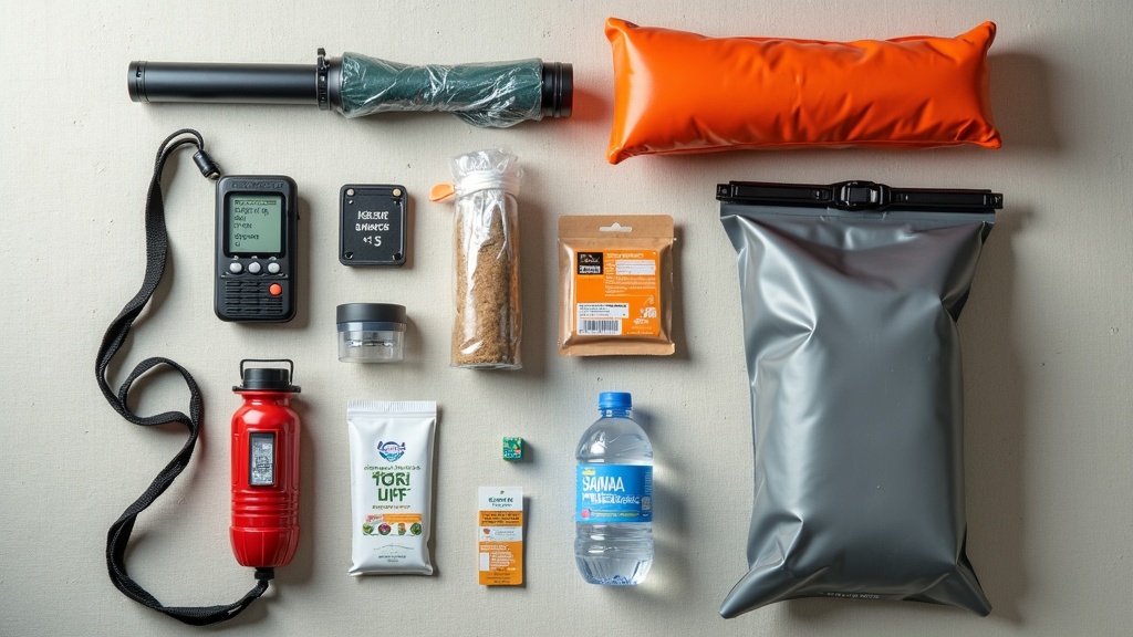
📦 Recommended: Water Freedom System
Flooding can interrupt tap-water service and contaminate private wells. A backup water plan helps you maintain safe drinking water during boil notices, outages, and cleanup.
What the 72-hour window actually looks like after NC’s disaster types
The three-day readiness window looks different depending on which of NC’s seven disaster categories hits you. After a hurricane, the primary problems are wind damage, power outages lasting days to weeks, and road closures from downed trees. After a mountain flood, the problems are access, roads washed out, bridges gone, cell towers down, and water contamination from overwhelmed septic systems and agricultural runoff. After a wildfire, the problems are air quality, evacuation timing, and the reality that some residents return to find nothing standing.
Build your 72-hour plan around the scenario most likely for your specific location, not the generic national template:
- Coast and piedmont: Hurricane shutters or plywood, fuel in the car before the storm, cash on hand (ATMs go down), and a clear inland evacuation route that avoids known flood-prone roads.
- Mountain valleys: Stored water (a gallon per person per day minimum, more if you have a well, since pumps need power), shelf-stable food that needs no cooking, and a battery or hand-crank weather radio tuned to the nearest NWS office.
- Foothills and forest-adjacent areas: A go-bag staged near the door, not in the garage. Wildfire evacuation orders can compress to 15 minutes of notice. Documents, medications, and irreplaceable items need to be moveable that fast.
Floodwater in the aftermath of a hurricane or tropical system carries sewage, agricultural chemicals, and debris that cause skin infections, gastrointestinal illness, and wound contamination. Do not wade through standing water without rubber boots and gloves. Do not use well water without testing or boiling it after any inundation event.

📦 Recommended: Home Doctor
After flooding, minor cuts, infections, rashes, and stomach illness can become harder to address if clinics are closed or roads are impassable. A practical home medical reference supports safer first response.
If a buyout offer comes to your neighborhood
Most homeowners will never receive a buyout offer. But if one arrives, the first thing to understand is that it is voluntary, no one can compel you to sell. The second thing to understand is that the offer is typically based on pre-disaster fair market value, which can be favorable if your home sustained significant damage. Before signing anything, get clear answers on closing costs, lien payoff, moving assistance, and timelines. A HUD-approved housing counselor (find one at hud.gov/findacounselor) can walk through the terms at no cost.
For everyone else, the buyout program is a data point about your county’s risk calculus. When a county applies for FEMA acquisition funds, it is telling the federal government that preventing future losses at specific addresses is cost-justified. That list of addresses is a real thing. If you want to know whether your neighborhood has been flagged in any local hazard mitigation plan, request the document from your county emergency management office, it is a public record.
Three steps that matter more than another kit checklist
- Pull your county’s hazard mitigation plan. Search “[your county] NC hazard mitigation plan” or call emergency management directly. Look for whether your road or watershed appears in acquisition or relocation priorities.
- Check your flood zone and your coverage gap in the same conversation. Use FEMA’s map service center to find your zone, then call your insurance agent to find out exactly what flood damage your current policy covers. Do this before storm season, not during.
- Set a weather alert for your specific county on weather.gov. The NWS issues Flash Flood Warnings, Red Flag Warnings, and Tropical Storm Watches at the county level. An alert on your phone the night before a storm gives you hours. Waking up to one gives you minutes.
Frequently asked questions
Does the $59 million buyout affect property values in Buncombe, Haywood, and Mitchell counties?
Not directly or uniformly. Removing severely damaged structures from flood-prone parcels can reduce future liability in a neighborhood and, over time, may stabilize values in areas that otherwise face recurring loss cycles. However, the presence of buyout activity also signals documented flood exposure, which some buyers and lenders factor into offers and loan terms. If you own property nearby, document your elevation, insurance, and any drainage improvements, that information matters in any future transaction.
North Carolina had five federally declared wildfires in spring 2025. Is that connected to the same mountain counties affected by flooding?
Partially. The Black Cove Fire Complex and Alarka Fire were in Swain County, adjacent to the Helene flood zone. Table Rock Fire was in Burke and McDowell counties. Western NC’s terrain creates conditions where the same steep, forested terrain that channels floodwater in wet years becomes tinder-dry in drought years. The risk is not either/or, mountain residents need to plan for both, sometimes in the same season.
If my home flooded but I did not receive a buyout offer, does that mean my property is safe from future flooding?
No. Buyout eligibility depends on funding availability, local government participation, and cost-benefit calculations, not exclusively on how dangerous a location is. Many high-risk properties are never offered buyouts simply because the program is oversubscribed relative to need. A home that did not make the buyout list should still be evaluated on its own flood history, drainage situation, and insurance coverage. Contact your county emergency management office to ask whether your address appears in any current or planned mitigation projects.
Get real disaster prep, decoded from FEMA, NOAA & USGS.
One short email when something actually matters for your zip code. No spam, ever.