Last Updated: April 2026 | Based on FEMA, NOAA, and USGS data
Iowa has recorded 18 federally declared disasters since January 2016. Eight of those were severe storm events. Five were floods. Then in May 2025, a severe winter storm got a federal declaration, in late spring. That last one is the detail that should reset how Cedar Rapids residents think about disaster planning: this is not just a flood problem, and it is not just a spring problem. Start with our Flood Preparedness guide for the household side of that reset.
Your county's real disaster history, what to do first, and what to keep at home. Free, and it shows up right here.
🔒 We never sell your email. Unsubscribe in one click.
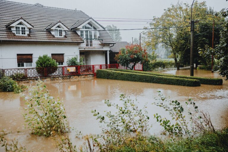
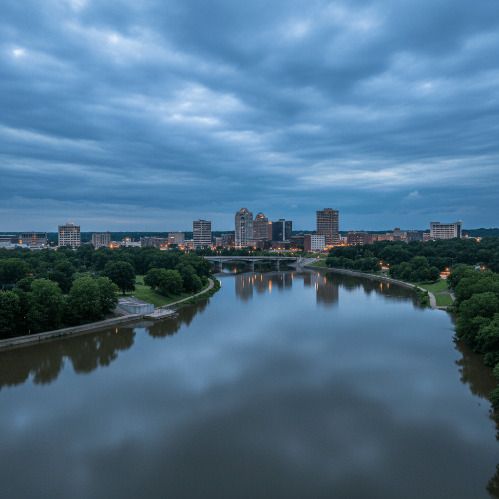
Cedar Rapids sits on the Cedar River, which has proven itself capable of catastrophic overflows, most infamously in June 2008, when the river crested at 31.12 feet, nearly double its flood stage, and inundated roughly a third of the city. The 2008 event remains the benchmark, but the FEMA record since 2016 tells a more crowded story: severe storms bringing straight-line winds and tornadoes hit in 2020, 2022, and twice in 2024. A standalone flooding declaration came through in August 2023. And three biological disaster declarations sit in the same state-level record, a reminder that grid disruptions and displacement don’t require any rain at all.
What follows is a practical breakdown built around what has actually happened in Iowa, not a generic checklist recycled from a national template.
📊 IA Federally Declared Disasters (2016–2026)
18 major disaster declarations were issued for IA in this period, according to FEMA records.
| Disaster type | Declarations |
|---|---|
| Severe Storm | 8 |
| Flood | 5 |
| Biological | 3 |
| Winter Storm | 1 |
| Tornado | 1 |
Most recent declarations
| Date | Type | Event |
|---|---|---|
| 2025-05-21 | Winter Storm | Severe Winter Storm |
| 2024-06-24 | Severe Storm | Severe Storms, Flooding, Straight-Line Winds, And Tornadoes |
| 2024-05-24 | Severe Storm | Severe Storms, Tornadoes, And Flooding |
| 2024-05-14 | Tornado | Severe Storms And Tornadoes |
| 2023-08-25 | Flood | Flooding |
| 2022-02-23 | Severe Storm | Severe Storms, Straight-Line Winds, And Tornadoes |
Source: FEMA OpenFEMA Disaster Declarations · retrieved 2026-07-19 by US Risk Radar.
The Cedar River Is the Starting Point. But It’s Not the Only Threat
Most Cedar Rapids flood risk conversations begin and end with the Cedar River, and that’s reasonable. The river runs directly through the city, and the National Weather Service Quad Cities office (weather.gov/dvn) monitors multiple gauge points along it continuously. Flood stage at the Cedar Rapids gauge is 12 feet. Major flood stage is 19 feet. In 2008 it hit 31. During the August 2023 federal flood declaration, it climbed well above flood stage again before cresting.
The practical step most residents skip: go to the FEMA Flood Map Service Center and enter your specific address. Flood zone designations in Cedar Rapids were substantially redrawn after 2008. A property that wasn’t in a mapped floodplain before that event may be in one now, or may have been removed from one after levee improvements. You need the current map, not a neighbor’s assumption.
If your property sits in Zone AE (the high-risk zone along the Cedar River corridor), the math on flood insurance is straightforward: standard homeowners policies do not cover flood damage. They never have. A separate policy through the National Flood Insurance Program or a private flood insurer is the only financial backstop. FEMA’s own data consistently shows that just one inch of floodwater causes an average of $25,000 in damage to a home.
Severe Storms Hit Iowa More Often Than Floods Do. Prepare Accordingly
Eight of Iowa’s 18 federal disaster declarations since 2016 were severe storm events, outpacing flood declarations three to one. The June 2024 declaration covered severe storms, flooding, straight-line winds, and tornadoes simultaneously. The May 2024 declaration covered tornadoes specifically. The August 2020 derecho, a straight-line wind event with sustained winds over 100 mph across much of Iowa, was one of the most destructive in U.S. history and knocked out power to large portions of Cedar Rapids for weeks.
That 2020 derecho is the event that should shape how you build your supply kit. A flood may give you hours of warning and a chance to evacuate. A derecho gives you almost none, and what it leaves behind is structural damage, no power, no refrigeration, and blocked roads, sometimes for days. The checklist below reflects that reality.
Severe storm supply priorities for Cedar Rapids households:
- Battery-powered or hand-crank NOAA weather radio, when cell towers fail, this is your alert system. The NWS Quad Cities office broadcasts continuous updates.
- Minimum 72-hour water supply (one gallon per person per day); after the 2020 derecho, some neighborhoods had no running water for several days.
- Portable power bank rated for at least two full phone charges, keep it topped off year-round, not just during storm season.
- Flashlight and backup batteries stored where you can reach them in complete darkness.
- Non-perishable food that requires no cooking: canned goods with a manual opener, protein bars, peanut butter.
- First aid kit, including any prescription medications filled for at least a 30-day supply.
- Copies of insurance policies, IDs, and financial documents in a waterproof bag or sealed container.
- Whistle and local paper maps. GPS requires power, and downed trees can make your usual routes impassable.
- Water purification system, if municipal water is disrupted or contaminated by floodwater, this becomes essential within 24 hours.
📦 Recommended: The Lost Superfoods
Ensure your family has access to long-lasting, nutritious food supplies when local grocery stores are inaccessible due to rising floodwaters in the Cedar River valley.
When the Cedar River Is Rising: What to Do Before It Reaches Your Street
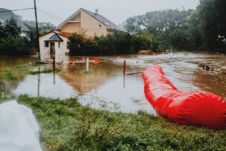
River flood events in Cedar Rapids rarely arrive without warning. The USGS maintains real-time stream gauges, and the NWS issues watches, advisories, and warnings progressively. A watch means conditions are favorable for flooding. A warning means it is happening or imminent. Do not wait for a warning to act.
- Sign up for emergency notifications through the City of Cedar Rapids emergency notification system, this is separate from general weather alerts and covers local evacuation orders.
- Know your evacuation routes before you need them. Map at least two options out of your neighborhood; the 2008 flood closed major arterials with no warning.
- Clear gutters, downspouts, and nearby storm drains now, debris-blocked drainage accelerates residential flooding during heavy rain events.
- If you have a basement sump pump, install a battery-powered backup. Power outages and flooding often arrive together.
- Move critical documents, medications, and irreplaceable items to the highest floor of your home well before a warning is issued.
- Elevate furnaces, water heaters, and electrical panels if your home is in a mapped floodplain. This is a permanent mitigation step, not an emergency one.
During active flooding: monitor water.weather.gov for real-time river gauge readings. If authorities issue an evacuation order, leave. The instruction “Turn Around, Don’t Drown” is not a slogan, six inches of moving water can knock an adult off their feet, and twelve inches can carry away a small vehicle.
The May 2025 Winter Storm Declaration: Iowa’s Off-Season Risk
A federally declared severe winter storm in late May is unusual enough to warrant its own discussion. Iowa’s weather history includes significant late-season snow and ice events, and the 2025 declaration confirmed that the state’s emergency risk calendar does not follow a tidy October-through-March window.
For Cedar Rapids households, this means your emergency kit cannot be seasonal. Supplies packed away in April are useless in a May blizzard that downs power lines and closes roads. Treat your kit as permanent infrastructure, not a spring ritual. Check batteries and expiration dates on food and medications twice a year, the standard recommendation is to use daylight saving time changes as the trigger.
After a Flood or Storm: The Recovery Steps That Protect Your Claim
- Do not return home until local authorities issue an all-clear. Floodwater can undermine foundations and conceal hazards invisibly.
- Before entering, inspect for structural damage, gas leaks (smell and sound), and downed electrical lines touching the structure.
- Photograph and video-document every room and every item of damage before moving or discarding anything. Insurance adjusters require documentation.
- Wear rubber boots and gloves during cleanup, floodwater in Cedar Rapids consistently contains combined sewer overflow, meaning raw sewage contamination.
- Contact your insurance agent the same day you return home. FEMA assistance applications (disasterassistance.gov) have strict filing windows following a federal declaration.
📋 Print this checklist, keep it with your emergency supplies.
Three Questions Cedar Rapids Residents Actually Ask
Iowa had three biological disaster declarations since 2016, what does that mean for flood prep?
Those declarations (including COVID-19) are relevant because they demonstrate that grid disruptions, supply chain failures, and displacement happen without any weather event at all. A preparedness kit built only around flood scenarios leaves you underprepared for the scenarios that actually outnumber floods in Iowa’s recent federal record. Treat biological and infrastructure disruptions as equally valid planning triggers.
The 2024 FEMA declarations included tornadoes, should Cedar Rapids residents have a shelter plan separate from their flood plan?
Yes. Flood response typically means moving up and potentially evacuating out. Tornado response means moving down and staying put, an interior room on the lowest floor, away from windows. These are opposite actions. Every household in Linn County should have a written plan for both, stored with their emergency kit, because confusing the two under stress is a real risk.
How do I know if my property’s flood zone designation changed after the 2008 flood?
Cedar Rapids undertook significant floodplain remapping and levee construction after 2008. Some properties were added to high-risk zones; others were removed following infrastructure improvements. The only reliable answer is your current address entered at the FEMA Flood Map Service Center. Your mortgage lender may also have a flood zone determination on file, but verify it independently, since lender records sometimes lag behind FEMA map revisions.
Get real disaster prep, decoded from FEMA, NOAA & USGS.
One short email when something actually matters for your zip code. No spam, ever.