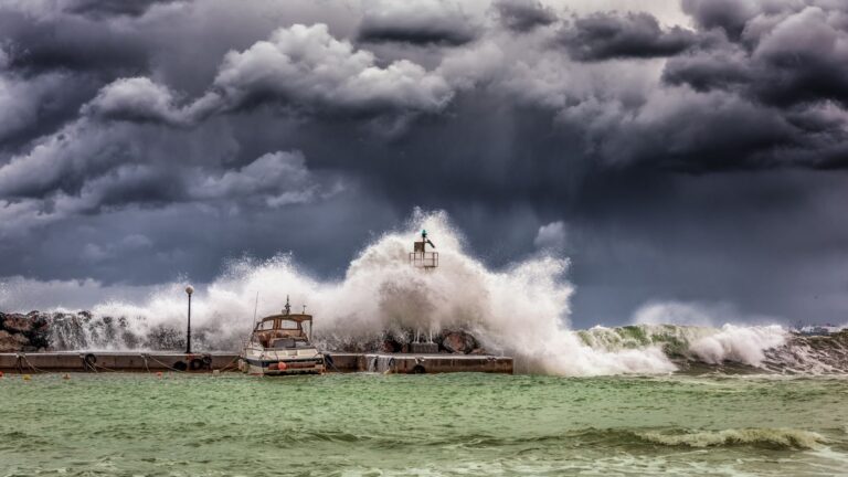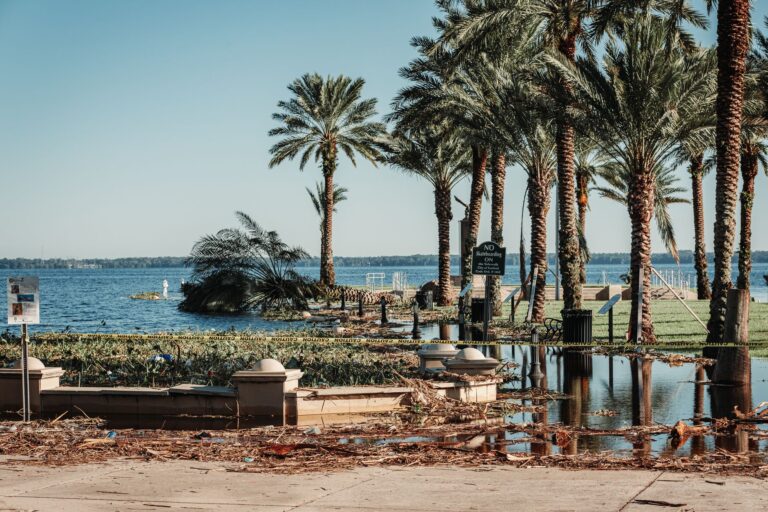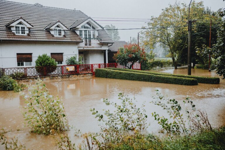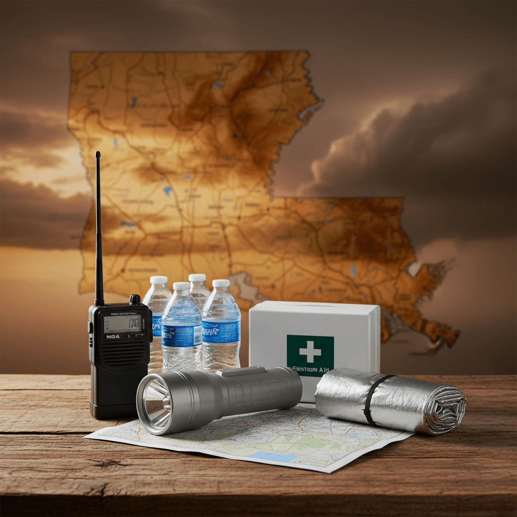
Louisiana has been hit with 25 federally declared disasters since January 2016, more than two per year on average. Eleven of those were hurricanes. The most recent, Hurricane Francine, earned a federal declaration on September 16, 2024, just days after it first made landfall as a tropical storm on September 10. That back-to-back sequence, tropical storm declaration followed by hurricane declaration within six days, is exactly the compressed timeline that catches New Orleans families off guard. If your evacuation plan is not built before a storm has a name, you are already behind.
Your county's real disaster history, what to do first, and what to keep at home. Free, and it shows up right here.
🔒 We never sell your email. Unsubscribe in one click.
What makes the FEMA record for Louisiana especially instructive is what sits alongside the hurricanes. The state also triggered federal declarations for two severe winter storms in early 2026, a seawater intrusion event in 2023, two wildfires in August 2023, coastal storms, and a biological event. New Orleans residents tend to plan exclusively around wind and surge. The data says you also need to think about what happens when January ice shuts down the same evacuation highways you are counting on in August.
📊 LA Federally Declared Disasters (2016–2026)
25 major disaster declarations were issued for LA in this period, according to FEMA records.
| Disaster type | Declarations |
|---|---|
| Hurricane | 11 |
| Fire | 4 |
| Winter Storm | 2 |
| Coastal Storm | 2 |
| Severe Ice Storm | 2 |
| Tropical Storm | 1 |
| Other | 1 |
| Flood | 1 |
Most recent declarations
| Date | Type | Event |
|---|---|---|
| 2026-06-30 | Tropical Storm | Tropical Storm Arthur |
| 2026-02-18 | Winter Storm | Severe Winter Storm |
| 2026-01-24 | Winter Storm | Severe Winter Storm |
| 2024-09-16 | Hurricane | Hurricane Francine |
| 2024-09-10 | Hurricane | Tropical Storm Francine |
| 2023-09-27 | Other | Seawater Intrusion |
Source: FEMA OpenFEMA Disaster Declarations · retrieved 2026-07-19 by US Risk Radar.
Get your ZIP-code disaster plan in 60 seconds
Built from live FEMA, NOAA & USGS data for your address. Free PDF.
The Surge Problem Is Structural, Not Seasonal
Nearly half of New Orleans sits below sea level. That is not a talking point, it is a civil engineering constraint that shapes every decision the city’s emergency managers make. The Hurricane and Storm Damage Risk Reduction System (HSDRRS) of levees and floodwalls was redesigned after Katrina and built to withstand a 100-year storm surge event. It is a serious system. It also has a hard limit, and Ida in 2021 demonstrated that even storms that stay just below that limit can produce catastrophic interior flooding when the city’s pumping stations are overwhelmed by rainfall rate rather than surge volume.
The single most important geographic fact you need to know: are you inside or outside the levee footprint? Neighborhoods outside the levees. Venetian Isles, Lake Catherine, Irish Bayou, face unimpeded surge from Lake Borgne and the Gulf. FEMA flood maps for Orleans Parish, available at fema.gov, show these areas in the highest-risk zones. Mandatory evacuation orders for outside-levee addresses typically come 12 to 24 hours earlier than orders for the rest of the city. If you live in one of these areas and you are waiting for the mayor’s press conference to start packing, you have likely already missed your best departure window.
Contraflow Is a Last Resort, Not a Plan
Louisiana’s Contraflow system, reversing inbound lanes on I-10, I-55, and I-59 to create all-outbound capacity, is one of the most sophisticated traffic management tools in the country. It was built because post-Katrina after-action reports documented lethal gridlock. It works. It also activates, at the earliest, 50 to 60 hours before projected landfall, and highway exits are severely limited once it is running. You cannot easily turn around.
The residents who got out cleanly before Ida left 60 to 72 hours before landfall, before Contraflow, before the gas station lines, before the mandatory order. Tropical Storm Francine’s federal declaration on September 10, 2024 came just six days before Hurricane Francine’s declaration. That six-day window from named storm to major hurricane impact is roughly the entire planning horizon most families have. Use the first 24 hours of any named Gulf system to make your go/stay decision, not the last 24.
Your primary route and two alternates should already be written down. I-10 West toward Baton Rouge and I-10 East toward Mississippi are the busiest corridors; I-55 North through Hammond toward Jackson, Mississippi is often faster in the first 12 hours of voluntary evacuation. Plan your fuel stops in advance, weather.gov storm surge forecasts update every six hours during an active storm, and those updates should be driving your departure timing.
If You Cannot Drive Out: The CAE System and Its Real Limitations
The City-Assisted Evacuation program is real, it is funded, and it operates from Evacuspot pickup locations marked by distinctive statues throughout New Orleans neighborhoods. Regional Transit Authority buses collect evacuees at Evacuspots, bring them to Union Passenger Terminal, and state-operated motorcoaches move them to inland shelters. Pets in hard-sided carriers with ID collars are permitted.
What the CAE program cannot do is move tens of thousands of people quickly. It is designed for residents who genuinely cannot self-evacuate, no vehicle, no funds, mobility limitations. If you have any option to leave by car, do so early and leave the CAE capacity for those who need it most. If you do rely on the CAE, register now: text NOLAREADY to 77295 to enroll in city alerts, and if you require electricity for medical devices or have mobility needs, sign up for the Special Needs Registry through the New Orleans Health Department before any storm is in the forecast. That registry activates specialized transport, but only for people already on it.
The Non-Hurricane Threats the Data Reveals
Tropical Storm Arthur earned a federal declaration on June 30, 2026. Two separate severe winter storms earned federal declarations in January and February 2026. A seawater intrusion event, saltwater moving up the Mississippi River during drought conditions, triggered a federal declaration in September 2023. Two wildfires in Tangipahoa Parish hit in August 2023.
None of those fit the hurricane mental model, but all of them disrupted the same roads and infrastructure that a hurricane evacuation depends on. The January 2026 winter storm declaration came during a period when I-10 segments were iced and closed. If your family’s evacuation plan assumes those highways are passable, a winter event exposes that assumption. Keep your vehicle’s gas tank above half throughout hurricane season. June through November, and check weather.gov road condition advisories before any long-distance movement, regardless of season.
Your New Orleans Evacuation Action List
- Look up your Orleans Parish evacuation zone and levee status at ready.nola.gov, outside-levee residents must leave first.
- Text NOLAREADY to 77295 to receive official city evacuation orders directly.
- Write down three exit routes: I-10 West, I-10 East, and I-55 North. Mark fuel stops that are off the main interstate to avoid pump-out scenarios.
- Confirm your destination, a specific address at least 150 miles inland, not a vague region, and verify it accepts pets before a storm is forecast.
- Enroll in the Special Needs Registry now if any household member uses electricity-dependent medical equipment.
- Locate your two nearest Evacuspots via the NOLA Ready map if you rely on the CAE program.
- Store insurance policies, property deed, IDs, and medical records in a single waterproof bag that lives near your front door from June through November.
- Photograph every room and every valuable item now. FEMA and insurance adjusters both work faster with pre-storm documentation.
- Keep a full tank of gas from June 1 onward; plan to depart when a system enters the Gulf, not when an order is issued.
- If you stay for any reason during a surge event: never enter a closed attic. Bring an axe. Call 911 and do not move until official high-water rescue arrives.
Official Resources
- NOLA Ready (City of New Orleans Emergency Preparedness): ready.nola.gov
- Louisiana GOHSEP: gohsep.la.gov
- FEMA Flood Map Service: fema.gov
- NOAA National Hurricane Center: weather.gov
Frequently Asked Questions
Louisiana had two winter storm federal declarations in early 2026, does that affect hurricane evacuation planning?
Yes, directly. The January and February 2026 winter storm declarations closed stretches of I-10 that serve as primary evacuation corridors. If your plan assumes those highways are always passable, a late-season or early-season storm event can strand you before a hurricane even forms. Build alternate surface routes into your plan and check weather.gov road condition advisories before any departure.
Hurricane Francine had both a tropical storm and a hurricane federal declaration within six days in 2024. How should that change my timeline?
It compresses everything. Six days from named tropical system to major federal disaster declaration means your effective planning window is shorter than most people assume. Make your go/stay decision within the first 24 hours of a system entering the Gulf, not when the mandatory order is issued. By the time Contraflow activates, the easiest departure window has already closed.
What was the 2023 seawater intrusion event, and does it affect evacuation planning?
Saltwater moved up the Mississippi River during an extended drought, threatening the New Orleans freshwater supply enough to trigger a federal disaster declaration in September 2023. It is relevant to evacuation planning because it demonstrated that infrastructure stress in the region is not limited to storm events. In a scenario where a hurricane follows a drought period, water supply at evacuation destinations and shelter facilities may already be under pressure. Pack more water than you think you need, and pack a portable water filter for New Orleans flood emergencies as backup, the FEMA-recommended minimum of one gallon per person per day is a floor, not a target.
Disclaimer: This article is for informational purposes only and does not replace official guidance from local emergency management authorities. Always follow the immediate directives of New Orleans city officials and law enforcement during a severe weather event. Evacuation orders are issued to save lives; ignoring them puts you and first responders at severe risk.
Sources:
Get real disaster prep, decoded from FEMA, NOAA & USGS.
One short email when something actually matters for your zip code. No spam, ever.