Last Updated: March 2026 | Based on FEMA, NOAA, and USGS data
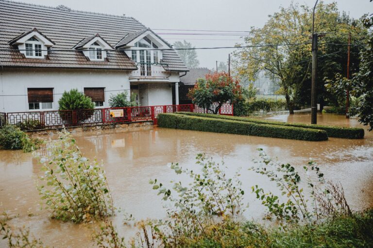
Tennessee has been hit with 34 federally declared disasters since January 2016, that’s roughly three per year, every year. Severe storms lead the list at 14 declarations, but the pattern that matters most to Knoxville residents is subtler: almost every disaster type on that list eventually puts water in places it shouldn’t be. Tornadoes tear off roofs before the rain arrives. Tropical Storm Helene, which triggered two separate federal declarations in late September and early October 2024, drove flooding far inland across East Tennessee. Winter storms saturate frozen ground that can’t absorb spring melt. In Knoxville, flood risk isn’t a single-season problem you solve with a sump pump. It’s the downstream consequence of nearly everything Tennessee weather does. Our Flood Preparedness guide covers that downstream risk in more depth.
Your county's real disaster history, what to do first, and what to keep at home. Free, and it shows up right here.
🔒 We never sell your email. Unsubscribe in one click.
📊 TN Federally Declared Disasters (2016–2026)
34 major disaster declarations were issued for TN in this period, according to FEMA records.
| Disaster type | Declarations |
|---|---|
| Severe Storm | 14 |
| Fire | 5 |
| Tornado | 4 |
| Winter Storm | 3 |
| Tropical Storm | 2 |
| Flood | 2 |
| Biological | 2 |
| Severe Ice Storm | 1 |
Most recent declarations
| Date | Type | Event |
|---|---|---|
| 2026-02-06 | Winter Storm | Severe Winter Storm |
| 2026-01-24 | Winter Storm | Severe Winter Storm |
| 2025-06-19 | Severe Storm | Severe Storms, Straight-Line Winds, Tornadoes, And Flooding |
| 2025-04-02 | Severe Storm | Severe Storms, Straight-Line Winds, Tornadoes, And Flooding |
| 2024-10-02 | Tropical Storm | Tropical Storm Helene |
| 2024-09-27 | Tropical Storm | Tropical Storm Helene |
Source: FEMA OpenFEMA Disaster Declarations · retrieved 2026-07-19 by US Risk Radar.
What These Numbers Mean Before You Read Any Further
- Tennessee’s most frequent federally declared disaster is severe storms, and most severe storm declarations here include flooding as a named component.
- Tropical Storm Helene in 2024 was not a Gulf Coast event. It produced federal disaster declarations inside Tennessee, affecting East Tennessee communities in Knoxville’s orbit.
- Two severe storm declarations in 2025 (April and June) both explicitly named “tornadoes and flooding”, not one or the other.
- Flood insurance through NFIP has a mandatory 30-day waiting period before coverage activates. If you don’t have it today, you can’t get it once a storm is named.
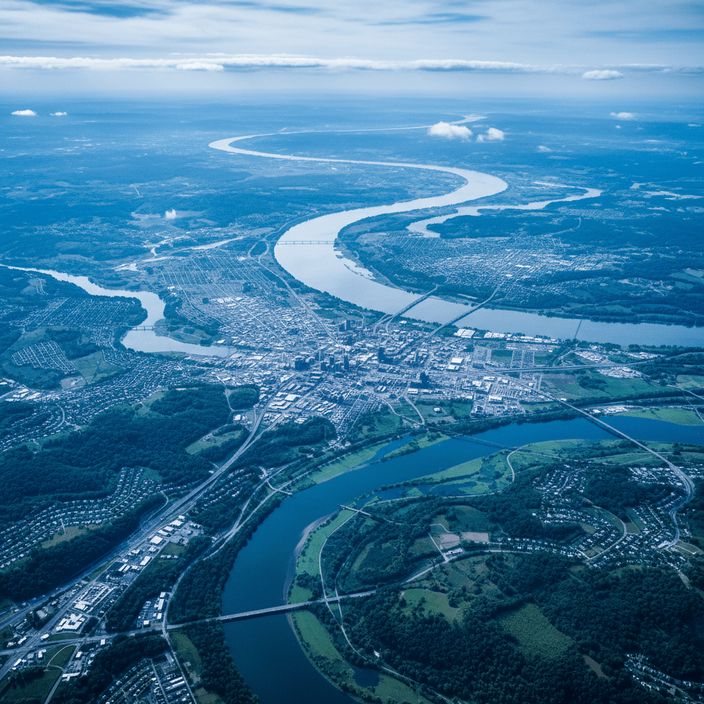
- Knox County sits within the Tennessee River watershed. What falls as rain in the Appalachians to the east moves west, through Knoxville.
Why Flooding in Knoxville Rarely Arrives as “Just a Flood”
Look at the FEMA declaration titles from the past few years and a pattern becomes obvious. The June 2025 declaration reads: “Severe Storms, Straight-Line Winds, Tornadoes, and Flooding.” The April 2025 declaration is nearly identical. The June 2024 declaration: “Severe Storms, Tornadoes, and Flooding.” These aren’t separate events lumped together for bureaucratic convenience, they describe how Tennessee weather actually moves. A squall line drops tornadoes ahead of a moisture surge. The ground is already disturbed and saturated when the heaviest rain arrives hours later. The French Broad and Holston rivers feed the Tennessee River right at Knoxville’s doorstep. When those tributaries run high simultaneously, the city’s flood threat compounds faster than standard weather alerts can track.
That compound dynamic is why FEMA’s Flood Map Service Center is only a starting point. A property sitting outside a Special Flood Hazard Area on a static map can still flood when storm surge, saturated soils, and a clogged storm drain align. The National Weather Service office in Morristown, which covers Knoxville, issues Flash Flood Watches and Warnings separately from Flood Watches, and the distinction matters. Flash flood warnings mean fast-moving, localized water with little warning time. If one is issued, you move first and verify later.
The Helene Factor: When “Inland” Doesn’t Mean “Safe”
Tropical Storm Helene in fall 2024 reframed how East Tennessee residents should think about tropical systems. Two federal disaster declarations. September 27 and October 2, 2024, covered Tennessee as Helene’s remnants drove catastrophic flooding across the southern Appalachians. Communities that had never seriously modeled tropical storm flooding found themselves underwater. Knoxville’s elevation provides some buffer, but the river system connecting it to the mountains means that upstream destruction translates directly into downstream surge. NOAA’s post-event data showed rainfall totals in parts of East Tennessee exceeding 20 inches over a short window, a figure that overwhelms any infrastructure designed around historical averages.
The practical takeaway: tropical storm watches issued for Gulf or Atlantic coastal areas are now a relevant trigger for Knoxville preparedness actions, not something to track casually from a distance.
Before the Next Declaration: Four Actions That Actually Reduce Damage
1. Confirm Your Flood Insurance Status Right Now
Standard homeowners policies do not cover flood damage, full stop. The National Flood Insurance Program (NFIP) is the primary path for most Knoxville residents, and the 30-day waiting period is real and non-negotiable outside of very specific loan-closing circumstances. If you rent, your landlord’s policy covers the structure, not your belongings. Renters flood insurance through NFIP is available and significantly cheaper than homeowners coverage. Check your current policy documents today, not after the NWS issues a watch.
2. Photograph and Document Everything Valuable
Walk through your home with your phone right now and record video of every room, every appliance, and every item of value. Upload it to cloud storage, not just your local hard drive, which may be sitting two feet underwater when you need it. Store physical copies of your deed, insurance declarations pages, prescriptions, and identification in a waterproof document bag kept near your exit point. FEMA disaster assistance claims move significantly faster when applicants arrive with documentation.
3. Know Your Two Evacuation Routes Before You Need One
Knoxville’s ridge-and-valley topography means some roads flood and close while adjacent routes stay passable, but that changes storm by storm. Identify two routes out of your neighborhood that don’t require crossing low-water bridges or underpasses. Six inches of moving water can knock an adult off their feet. Eighteen inches can carry a vehicle. The rule at weather.gov is unambiguous: turn around, don’t drown. Program the Knox County Emergency Management line into your phone: Knox County Emergency Management posts road closures and shelter locations during active events.
4. Protect the Infrastructure Inside Your Walls
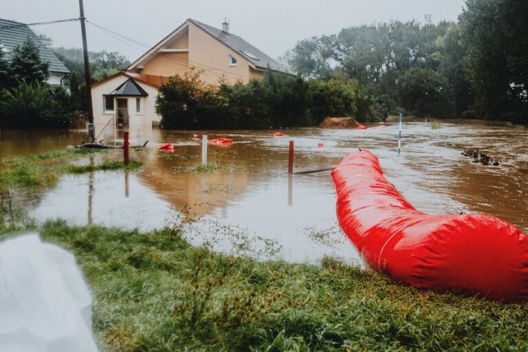
If your electrical panel, HVAC unit, or water heater sits at or near ground level, a licensed contractor can quote you an elevation project. It’s not cheap, but it’s substantially cheaper than replacing all three after a flood event, and it may reduce your NFIP premium. At minimum, move portable valuables, documents, and medications above your home’s highest historical water mark before storm season. Sandbags are available through the City of Knoxville during active flood threats; know the pickup locations before you’re in a hurry.
Your Emergency Kit: Built for What Knoxville Actually Faces
Given Tennessee’s combination of severe storms, flooding, and winter events, a Knoxville emergency kit needs to account for multi-day power outages in heat, cold, and wet conditions, not just a single scenario.
- Water: one gallon per person per day, minimum three days, ideally seven.
- Battery-powered NOAA weather radio, cell networks go down; this doesn’t.
- Non-perishable food for at least 72 hours; prioritize items that need no cooking.
- Waterproof flashlights and a headlamp with extra batteries.
- First aid kit including a full supply of any prescription medications.
- Multi-tool and adjustable wrench for shutting off gas and water.
- Waterproof boots and a change of clothes in a dry bag.
- Cash in small bills. ATMs and card readers go offline when power does.
- Portable phone charger, fully charged before any storm watch.
- Printed copies of emergency contacts and local shelter addresses.
📦 Recommended: The Lost Superfoods
When floods make local grocery stores inaccessible, having a reliable supply of long-lasting, nutrient-dense food is a necessity for Knoxville families.
Frequently Asked Questions
Tropical Storm Helene hit far away, why did Tennessee get two federal disaster declarations from it?
Tropical systems don’t need to make landfall near you to cause catastrophic flooding inland. Helene’s moisture plume drove extreme rainfall totals into the southern Appalachians, and East Tennessee’s river network, including the tributaries that feed into the Tennessee River at Knoxville, carried that water downstream rapidly. The September 27 and October 2, 2024 declarations reflected real damage to Tennessee communities. Future Gulf and Atlantic tropical storms warrant the same attention from Knoxville residents.
Tennessee had 14 severe storm declarations since 2016, how is that different from a flood declaration?
FEMA classifies disasters by the primary trigger, but severe storm declarations in Tennessee routinely include flooding as a named component. The 2025 and 2024 declarations explicitly listed “tornadoes and flooding” together. In practical terms, a severe storm watch from the NWS Morristown office is also a signal to monitor flood potential, especially if rainfall is forecast to follow wind and tornado activity on already-saturated ground.
I’m outside the FEMA flood zone, do I still need flood insurance?
FEMA’s own data shows that roughly 25% of flood insurance claims come from properties outside high-risk flood zones. Knoxville’s terrain, combined with the compound storm patterns evident in recent federal declarations, means flash flooding can reach neighborhoods that standard flood maps don’t flag. The NFIP offers lower-cost Preferred Risk Policies for properties in moderate- and low-risk zones. It’s worth a conversation with your insurance agent before the next storm season, not during one.
Local Resources
- Knox County Emergency Management
- City of Knoxville Official Portal
- NWS Morristown (Serving Knoxville)
- FEMA Flood Map Service Center
This article is for informational purposes only. Always follow directives from local emergency management authorities.
Get real disaster prep, decoded from FEMA, NOAA & USGS.
One short email when something actually matters for your zip code. No spam, ever.