Last Updated: June 2026 | Based on FEMA disaster declarations, NOAA, and USGS data
Since January 1, 2016, Hawaii has received 24 federally declared disasters, a number that puts it among the most disaster-impacted states in the country on a per-square-mile basis. Ten of those declarations involved fire, four involved floods, four were hurricanes, and one each covered volcanic eruption and mud/landslide. The most recent, declared April 7, 2026, was for severe storms, flooding, landslides, and mudslides statewide. For residents of Hilo on the Big Island, that record is not abstract: your city sits on a bay shaped like a funnel pointed directly at the Pacific, which has focused tsunami energy into Hilo twice in living memory, in 1946 and 1960. The question is not whether Hilo faces layered, compounding disaster risk. The record confirms it does. The question is whether your household plan accounts for it.
Your county's real disaster history, what to do first, and what to keep at home. Free, and it shows up right here.
🔒 We never sell your email. Unsubscribe in one click.
📊 HI Federally Declared Disasters (2016–2026)
24 major disaster declarations were issued for HI in this period, according to FEMA records.
| Disaster type | Declarations |
|---|---|
| Fire | 10 |
| Flood | 4 |
| Hurricane | 4 |
| Severe Storm | 2 |
| Biological | 2 |
| Volcanic Eruption | 1 |
| Mud/Landslide | 1 |
Most recent declarations
| Date | Type | Event |
|---|---|---|
| 2026-04-07 | Flood | Severe Storms, Flooding, Landslides, And Mudslides |
| 2025-09-23 | Fire | Holomua Fire |
| 2025-08-19 | Fire | Kunia Road Fire |
| 2024-06-17 | Flood | Severe Storms, Flooding, And Landslides |
| 2023-08-10 | Fire | Wildfires And High Winds |
| 2023-08-09 | Fire | Lahaina Fire |
Source: FEMA OpenFEMA Disaster Declarations · retrieved 2026-07-19 by US Risk Radar.
Key Takeaways
- Hawaii’s disaster record is dominated by fire (10 declarations since 2016), but Hilo’s geography makes tsunami the highest-consequence single event.
- Distant tsunamis give Hilo 5–15 hours of warning. A local submarine landslide or Big Island earthquake could deliver a wave in under 15 minutes.
- The April 2026 flood declaration is a reminder that Hilo’s post-tsunami recovery window can be complicated by simultaneous landslide and infrastructure damage.
- Hawaii County recommends 14 days of self-sufficiency, damage to Hilo Harbor routinely delays supply shipments after major events.
📋 Print this checklist, keep it with your emergency supplies.
Why Hilo Gets Hit Harder Than the Statewide Average
Most of Hawaii’s 10 fire declarations since 2016 struck Maui and Oahu. The Lahaina Fire (August 9, 2023), the Holomua Fire (September 2025), and the Kunia Road Fire (August 2025) all drew federal disaster declarations, a pace of roughly two fire events per year statewide. Hilo itself sits in a wetter climate corridor on the windward side of Mauna Kea, which reduces wildfire exposure but concentrates a different set of risks: flooding from orographic rainfall, landslides on steep volcanic slopes, and the persistent tsunami hazard that defines Hilo Bay.
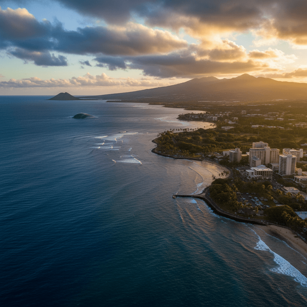
The Bay’s concave shape amplifies incoming wave energy. When a wave front enters the shallow embayment, it compresses, slows, and rises. That physical reality is why the 1960 Chilean tsunami, which crossed the Pacific with enough time for a warning, still killed 61 people in Hilo. Distance from the source does not automatically mean survivable. The April 2026 statewide flood declaration, which included landslides and mudslides, also matters here: a major tsunami striking during or after heavy rainfall would find Hilo’s roads already compromised, evacuation routes potentially blocked by debris, and emergency response resources already stretched.
The Two Timelines That Govern Your Response
NOAA’s Pacific Tsunami Warning Center (weather.gov/ptwc) distinguishes between distant-source and local-source tsunamis, and the difference is everything for how you plan.
Distant-source events, an Aleutian subduction rupture, a Chilean trench earthquake, give Hilo roughly 5 to 15 hours from generation to first wave arrival. That is enough time to receive an alert through Hawaii County Civil Defense’s Everbridge system, gather your kit, and drive or walk to high ground before gridlock sets in on Highway 11 and the Bayfront. Fema.gov records show that the infrastructure disruption from Hawaii’s recent flood and fire declarations consistently degraded road access within hours; in a distant-source scenario, leaving early is the margin between a smooth evacuation and sitting in stopped traffic when the siren is still running.
Local-source events are the scenario that kills people who feel prepared. A magnitude 7+ earthquake on the Big Island’s south flank, a geologically active area, or a submarine landslide off Loihi Seamount could generate a wave that reaches Hilo shoreline in 10 to 15 minutes. No official warning will arrive in time. Your only alert is the earthquake itself: if you feel strong, prolonged shaking while near the coast, treat it as a tsunami warning and move inland immediately. Do not wait for the siren. Do not check your phone.
- ☐ Identify Your Inundation Zone Now: Use Hawaii County Civil Defense tsunami evacuation maps before you need them. Downtown Hilo and the entire Bayfront area are high-risk zones.
- ☐ Walk Your Route: Drive times are unreliable during evacuations. Walk your primary route to high ground (100+ feet elevation) at least once so your body knows it.
- ☐ Know the Local-Source Trigger: Strong, sustained ground shaking near the coast = move immediately. No siren required.
- ☐ Sign Up for Everbridge: Hawaii County Civil Defense sends text and email alerts. Registration is free and takes three minutes.
- ☐ Tune to KAPA, KHLO, or KBIG: These stations broadcast official Civil Defense instructions during any hazard activation.
Building a Kit for Hilo’s Specific Isolation Risk
Hawaii’s island geography creates a supply chain vulnerability that mainland preparedness advice underestimates. After the 2023 Lahaina Fire, relief supplies took days to reach affected areas even with federal disaster declaration in place. Hilo Harbor, the Big Island’s primary receiving port, would sustain direct damage in a major tsunami inundation scenario, potentially cutting off resupply for a week or longer. Hawaii Emergency Management Agency and FEMA both recommend a minimum 14-day supply kit for Big Island residents. That recommendation is grounded in logistics, not caution.
- ☐ Water: One gallon per person per day for 14 days. Tsunami surges contaminate municipal wells and water lines with saltwater and debris, stored water is not optional.
- ☐ Food: Non-perishable, no-cook items. After a major event, propane and electricity will both be unavailable.
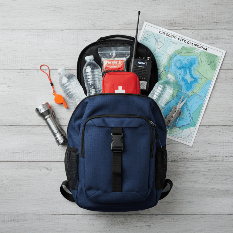
- ☐ NOAA Weather Radio: Battery-powered or hand-crank. Cell networks fail quickly during mass evacuation events.
- ☐ First Aid Kit: Bandages, antiseptics, and a 14-day supply of any prescription medications. Emergency rooms will be overwhelmed.
- ☐ Flashlight and Batteries: High-lumen LED. Power outages after flooding and tsunamis routinely last days on the Big Island.
- ☐ Waterproof Document Pouch: IDs, insurance policies, birth certificates. Post-disaster FEMA registration requires documentation.
- ☐ Cash in Small Bills: Card readers and ATMs go offline. Cash moves aid transactions when systems are down.
- ☐ Paper Maps: GPS is unreliable after infrastructure damage. A physical map of Hilo and Hawaii County is a genuine backup.
- ☐ Whistle: For signaling through debris if trapped.
- ☐ Solar Power Bank: Keeps devices charged for emergency communication during extended outages.
📦 Recommended: Home Doctor
When emergency services are stretched thin or unreachable, this practical medical guide shows you how to handle injuries and illness at home — an essential reference for any disaster plan.
When the Wave Has Passed: The Recovery Gap
USGS data shows tsunami activity, successive wave trains, can continue for eight hours or longer after the first surge. Most deaths in modern tsunami events occur to people who returned to the inundation zone between waves. Hawaii County Civil Defense issues an official “all clear” when wave activity has subsided and the area is safe for re-entry. That declaration, not the absence of noise, is your signal to return.
Post-surge Hilo presents compounding hazards consistent with the disaster types already on Hawaii’s federal record: floodwaters contaminated with sewage and debris (consistent with the April 2026 flood declaration), structural damage to buildings weakened by prior volcanic activity, and downed power infrastructure. The same caution that applies to Hawaii’s recent flood events applies here, standing water after a tsunami carries the same contamination risks as any major flood, plus marine debris and fuel spills from Hilo Harbor.
- ☐ Wait for the Official All Clear: Hawaii County Civil Defense, not your own judgment, determines when re-entry is safe.
- ☐ Avoid All Floodwater: Assume contamination. Do not walk through standing water without waterproof boots.
- ☐ Check for Structural Hazards: Downed power lines, gas leaks, and compromised foundations before entering any building.
- ☐ Text, Don’t Call: SMS transmits on congested networks when voice calls fail. Keep phone lines open for emergency services.
- ☐ Document Everything Before Cleaning: Photographs and video taken before any cleanup are required for FEMA and insurance claims.
- ☐ Review Your Insurance Now: Standard homeowners policies do not cover tsunami damage. Contact your agent about National Flood Insurance Program (NFIP) coverage before you need it.

Water Freedom System
Tsunami surges contaminate Hilo’s municipal water supply with saltwater and debris within minutes of landfall. This system lets you generate clean drinking water independently of the grid or public infrastructure.
Frequently Asked Questions
Hawaii had 10 fire declarations since 2016, does wildfire affect Hilo’s tsunami plan?
Indirectly, yes. Multiple simultaneous disaster declarations, like the four fire events declared in August 2023 alone, strain Hawaii County Civil Defense resources and mutual aid networks. If a tsunami warning coincides with active wildfire response on another part of the island, emergency communication and road management capacity will be reduced. That makes self-sufficiency in evacuation more important, not less: know your route on foot, have your kit ready to move in under five minutes, and do not count on real-time official guidance reaching you instantly.
The April 2026 flood declaration included landslides, how does that affect evacuation routes?
The April 7, 2026 FEMA declaration for severe storms, flooding, landslides, and mudslides in Hawaii is a direct rehearsal for what a post-tsunami environment looks like. Landslide debris can block the uphill roads that serve as Hilo’s primary evacuation corridors. When you walk your evacuation route, identify two options, a primary and a secondary, and note which segments run through areas prone to slope failure after heavy rain. Routes that pass through narrow cuts in volcanic terrain are most vulnerable.
Why does Hilo Bay produce higher wave run-up than other Hawaiian coastlines?
Hilo Bay’s geometry acts as a wave amplifier. As a tsunami enters the bay’s narrowing mouth and encounters shallowing water, wave speed decreases and wave height increases, a process called shoaling. The bay’s curved shape also focuses energy toward the center of the shoreline where downtown Hilo sits. This is why both the 1946 Aleutian tsunami and the 1960 Chilean tsunami produced run-up heights in Hilo far exceeding what was recorded at other Hawaiian sites from the same events. NOAA’s Pacific Tsunami Warning Center uses this bathymetric data in its Hilo-specific inundation models, which are the basis for Hawaii County’s current evacuation zone maps.
Get real disaster prep, decoded from FEMA, NOAA & USGS.
One short email when something actually matters for your zip code. No spam, ever.