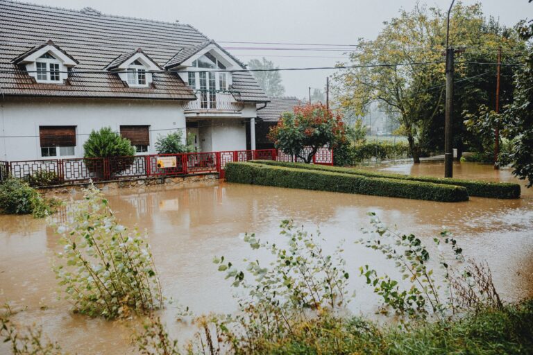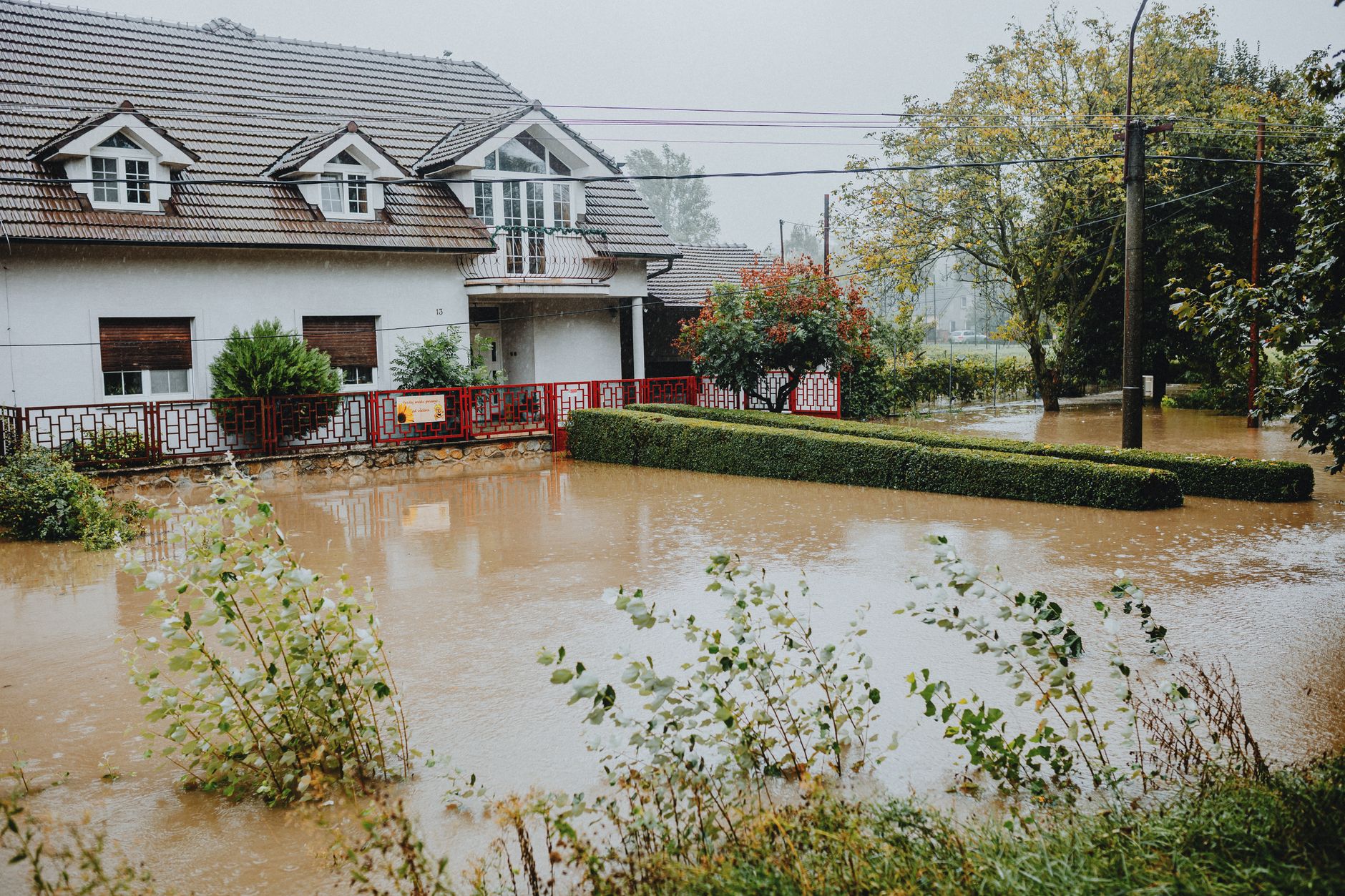
Texas has recorded 32 federally declared disasters since January 2016, and the breakdown tells a story most Collin County homeowners don’t expect. Fire leads with 20 declarations. Flood and Hurricane each sit at 4. Severe Ice Storm accounts for 2 more, with Winter Storm and a Biological event rounding out the list. So when FEMA releases preliminary flood maps for Allen, McKinney, Lucas, Fairview, Princeton, Lowry Crossing, New Hope, and unincorporated Collin County, those maps deserve attention, but they don’t capture everything that can disrupt life in North Texas. Understanding both is the point of this post.
Your county's real disaster history, what to do first, and what to keep at home. Free, and it shows up right here.
🔒 We never sell your email. Unsubscribe in one click.
📊 TX: Federally Declared Disasters (2016–2026)
32 major disaster declarations were issued in this period, according to FEMA records.
| Disaster type | Declarations |
|---|---|
| Fire | 20 |
| Flood | 4 |
| Hurricane | 4 |
| Severe Ice Storm | 2 |
| Winter Storm | 1 |
| Biological | 1 |
Most recent declarations
| Date | Type | Event |
|---|---|---|
| 2026-07-18 | Flood | Flooding |
| 2026-05-18 | Fire | Stinky Fire |
| 2026-05-14 | Fire | Hunggate Fire |
| 2026-03-15 | Fire | Corner Pocket Fire |
| 2026-02-18 | Fire | 8 Ball Fire |
| 2025-07-06 | Flood | Severe Storms, Straight-Line Winds, And Flooding |
Source: FEMA OpenFEMA Disaster Declarations · retrieved 2026-07-20 by US Risk Radar.
The most recent declaration on record is a flooding event dated July 18, 2026. Before that: severe storms and flooding on July 6, 2025, and again on May 21, 2025. Sandwiched between those flood events are four consecutive wildfire declarations spanning February through May 2026, the 8 Ball Fire, Corner Pocket Fire, Hunggate Fire, and Stinky Fire. That is the actual Texas disaster cadence: not a single threat type but a rotation of fire and water that rarely gives communities a clean recovery window before the next event arrives.
What the preliminary Collin County flood maps actually change
FEMA’s Flood Insurance Rate Maps (FIRMs) are the official documents used to define flood hazard boundaries in a community. A preliminary map is a draft, open for public review before it becomes legally effective. FEMA is essentially publishing its latest engineering and hydrology modeling and asking local property owners and officials to verify it against conditions on the ground before it is adopted.
The maps identify Special Flood Hazard Areas (SFHAs): zones where FEMA’s data shows elevated flood probability, typically areas with a 1-percent annual chance of flooding or higher. If your parcel falls inside an SFHA and you carry a federally backed mortgage, your lender is generally required to mandate flood insurance. That requirement doesn’t appear automatically, it triggers when the map is finalized, but the preliminary release is your earliest warning to check your parcel and prepare for any change.
Three things to pull from the map directly:
- Your property’s position relative to SFHA shading and floodway lines, flood exposure can shift from one side of a street to the other based on drainage channels, culverts, and nearby development.
- Your base flood elevation (BFE), if shown, this is the estimated water surface height during a base flood event, and it matters for both insurance rating and any future construction or renovation.
- What changed from the previous map, moving into a higher zone raises insurance questions; moving out doesn’t eliminate risk, it just changes the lender requirement calculation.
FEMA also opens a formal appeal and comment period with preliminary maps. If your survey data, drainage improvements, or site grading don’t match what the model shows, that window is when you can submit documentation. After the map is finalized, correcting your zone designation requires a separate Letter of Map Amendment (LOMA) process, which is slower and more expensive. The preliminary period is the leverage point. Check the FEMA press release for current comment deadlines.
Fire has driven more Texas declarations than anything else, that matters even in a flood post
Twenty of Texas’s 32 federal disasters since 2016 were fire-related. That number isn’t a footnote. In the spring of 2026 alone, four named wildfires received federal declarations within roughly three months. North Texas sits at the interface of grassland and suburb, the same conditions that allow fast-moving grass fires to jump roads and threaten neighborhoods with little warning.
Collin County’s rapid residential growth has pushed development into areas that were open land a decade ago. That changes fire behavior. More rooftops, more wood fencing, more landscaping that can carry embers, and more residents who have never practiced an evacuation. FEMA and NOAA’s weather.gov both track Red Flag Warning conditions (low humidity, high winds, dry fuels) that precede the highest-risk fire days in North Texas. Signing up for Collin County’s emergency alert system and checking weather.gov forecasts during dry windy stretches costs nothing and can give you the 30-minute lead time that makes evacuation possible instead of panicked.
The practical overlap with flood preparedness: both hazards can cut off road access, knock out power, and compromise water service at the same time. A readiness plan that only accounts for one threat is half a plan.
Insurance, mortgages, and what a map change actually costs you
If the finalized Collin County flood map places your home inside an SFHA for the first time, your mortgage servicer will likely send a letter requiring you to purchase flood insurance within 45 days. That’s not optional if your loan is federally backed. The cost depends on your flood zone designation, the elevation of your lowest floor relative to the BFE, and the coverage amounts you choose.
Ask your insurance agent these specific questions before the map is finalized:
- Does the preliminary map change my flood zone status, and when does that change take effect?
- If I buy a policy before the map is finalized, can I lock in a lower-risk rating under the current designation?
- Does my existing homeowners policy cover any flood-related losses, or is there a complete gap?
Standard homeowners insurance does not cover flood damage. That gap has surprised property owners in every flood event in Texas’s recent record, including the severe storms of May and July 2025. If you are in or near a mapped floodplain and don’t carry a separate flood policy, you are self-insuring a risk that the federal data says is real.
Beyond the policy itself, think through post-flood cash flow: emergency drying equipment, hotel nights if the home is uninhabitable, mold remediation, and replacing items that sat in standing water. That list adds up faster than most households budget for. A clearer risk picture now helps you decide whether to purchase coverage, invest in physical mitigation, or both.

📦 Recommended: Water Freedom System
Flooding can disrupt municipal water, contaminate wells, and make tap water unsafe to use. A practical water backup plan helps your household stay functional during the first 72 hours after a flood-related outage.
The 72-hour window after a flood in North Texas
Texas’s flood declarations in 2025 and 2026 all shared a common feature: they involved severe storms and straight-line winds alongside the water. That combination doesn’t just flood streets, it takes down power lines, closes roads, and knocks out cell towers at the same time. Planning for water alone misses the compounding failures that actually define the first 72 hours.
For Collin County households, a realistic 72-hour plan covers:
- Water: one gallon per person per day for three days minimum; more in July heat. Include pets. Municipal service can be disrupted by both flood and fire emergencies.
- Food: shelf-stable meals that require no cooking, power outages during North Texas summer storms can last 48 hours or longer.
- Access and egress: know two routes out of your neighborhood; low-water crossings flood faster than most people expect and are responsible for a disproportionate share of Texas flood fatalities according to FEMA.
- Documentation: dated photos of every room, all appliances, and stored valuables, kept in cloud storage so they survive even if your home doesn’t.
- Physical mitigation: test your sump pump before storm season, clear gutters and downspouts, check the grading around your foundation, and move chemicals and valuables off garage floors.
Floodwater in North Texas frequently carries sewage, fertilizer runoff, and industrial chemicals. Skin contact during cleanup and contaminated well water afterward are both real health risks. Don’t wait on wet materials, mold in a Texas summer can establish itself within 24 to 48 hours of water intrusion.

📦 Recommended: Home Doctor
If flood cleanup leads to cuts, infections, stomach illness, or delayed medical access, having practical home treatment guidance can help you manage minor issues safely while services are disrupted.
FAQ: Texas disasters and Collin County flood maps
Texas has had 20 fire declarations since 2016, does wildfire risk actually affect Collin County?
Yes. North Texas grasslands and the suburban-rural edge in eastern and northern Collin County create conditions where fast-moving fires can threaten residential areas, especially during Red Flag Warning periods in spring. The four fire declarations issued in early 2026 were concentrated in that seasonal window. Collin County residents should monitor weather.gov for fire weather watches and ensure they have a practiced evacuation route, not just a flood plan.
If my home is outside the SFHA on the new FEMA map, do I still need flood insurance?
Your lender may not require it, but roughly 25 percent of FEMA flood insurance claims historically come from outside mapped high-risk zones. Intense rainfall that overwhelms storm drains, the type associated with Texas’s severe storm declarations in 2025, can flood properties that sit well outside a floodplain. A policy may still be worth carrying at the lower-risk rate.
What is the difference between the preliminary map and the final map, and when does the lender requirement kick in?
The preliminary map is a public draft. Lender requirements, insurance mandates, and building regulations don’t change until FEMA issues a Letter of Final Determination (LFD) and the map becomes effective, typically six months or more after the preliminary release. That gap is your window to review the data, submit corrections if needed, shop for coverage, and make mitigation decisions before any requirement is legally binding.
Your next five moves
- Look up your parcel in the preliminary Collin County FEMA maps and note your flood zone and any BFE shown.
- Call your insurance agent to ask how a zone change would affect premiums, lender requirements, and whether buying before finalization locks in a better rate.
- Document your home now, dated photos of every room, appliance, and stored item, backed up to cloud storage.
- Check your physical drainage: gutters, downspouts, foundation grading, sump pump, and any low-water crossings on your regular routes.
- Sign up for Collin County emergency alerts and bookmark weather.gov’s local forecast for fire weather watches during dry spring and fall windows.
Get real disaster prep, decoded from FEMA, NOAA & USGS.
One short email when something actually matters for your zip code. No spam, ever.